The Yellow Book’s Road: Old South Baton Rouge
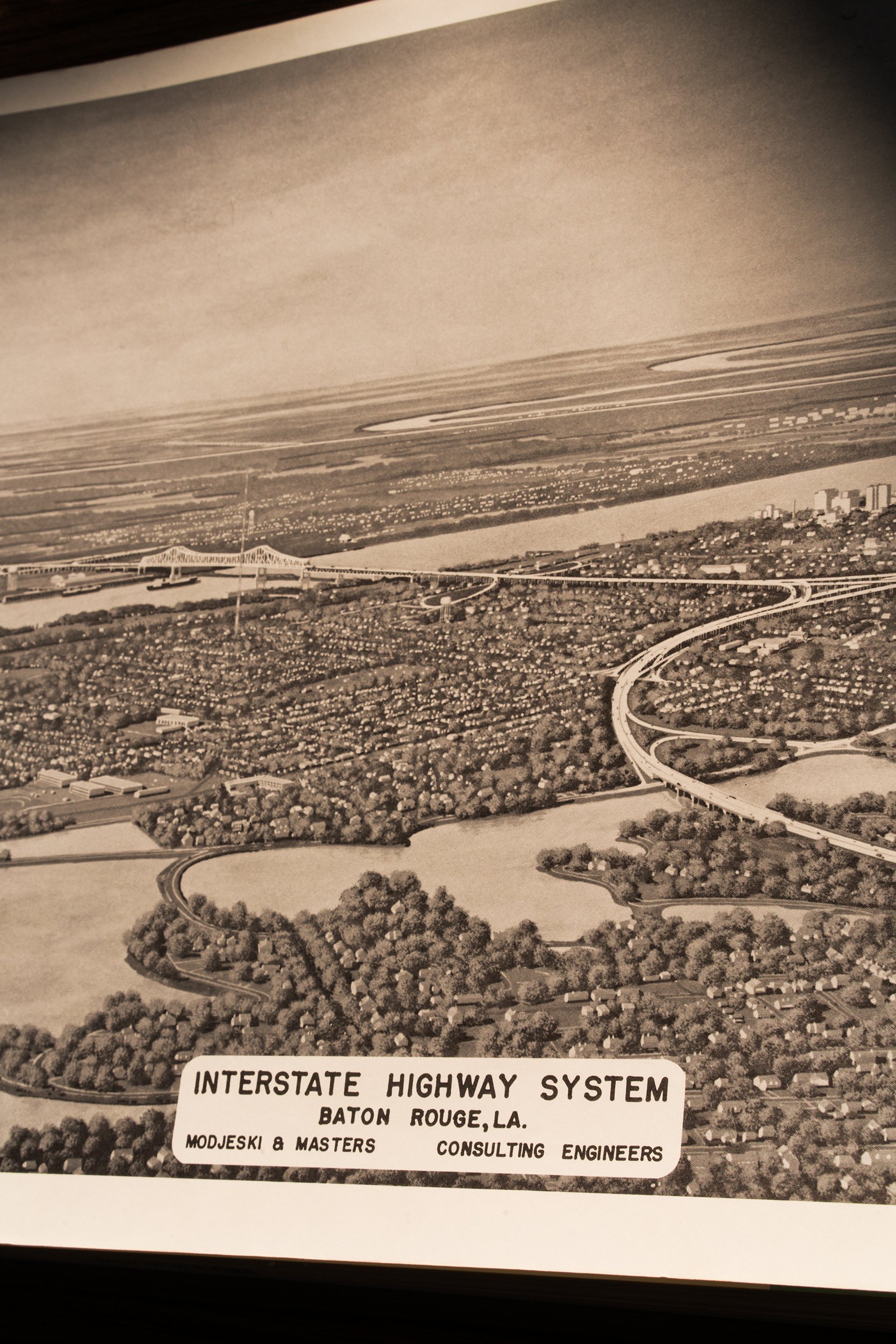
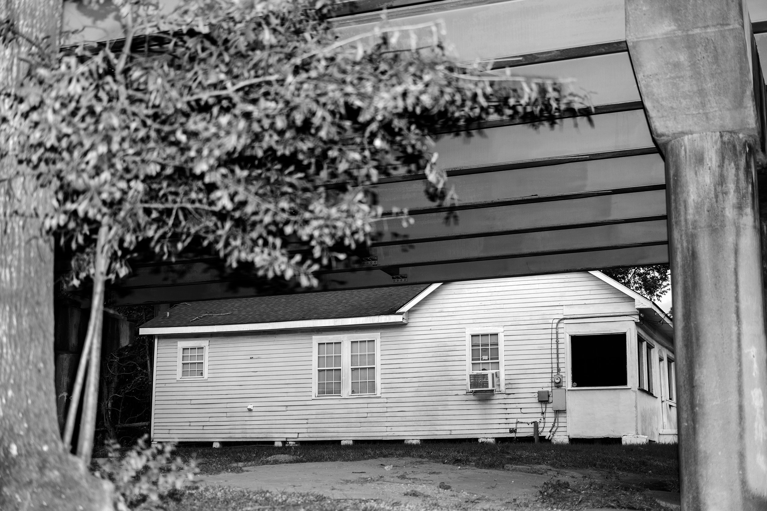
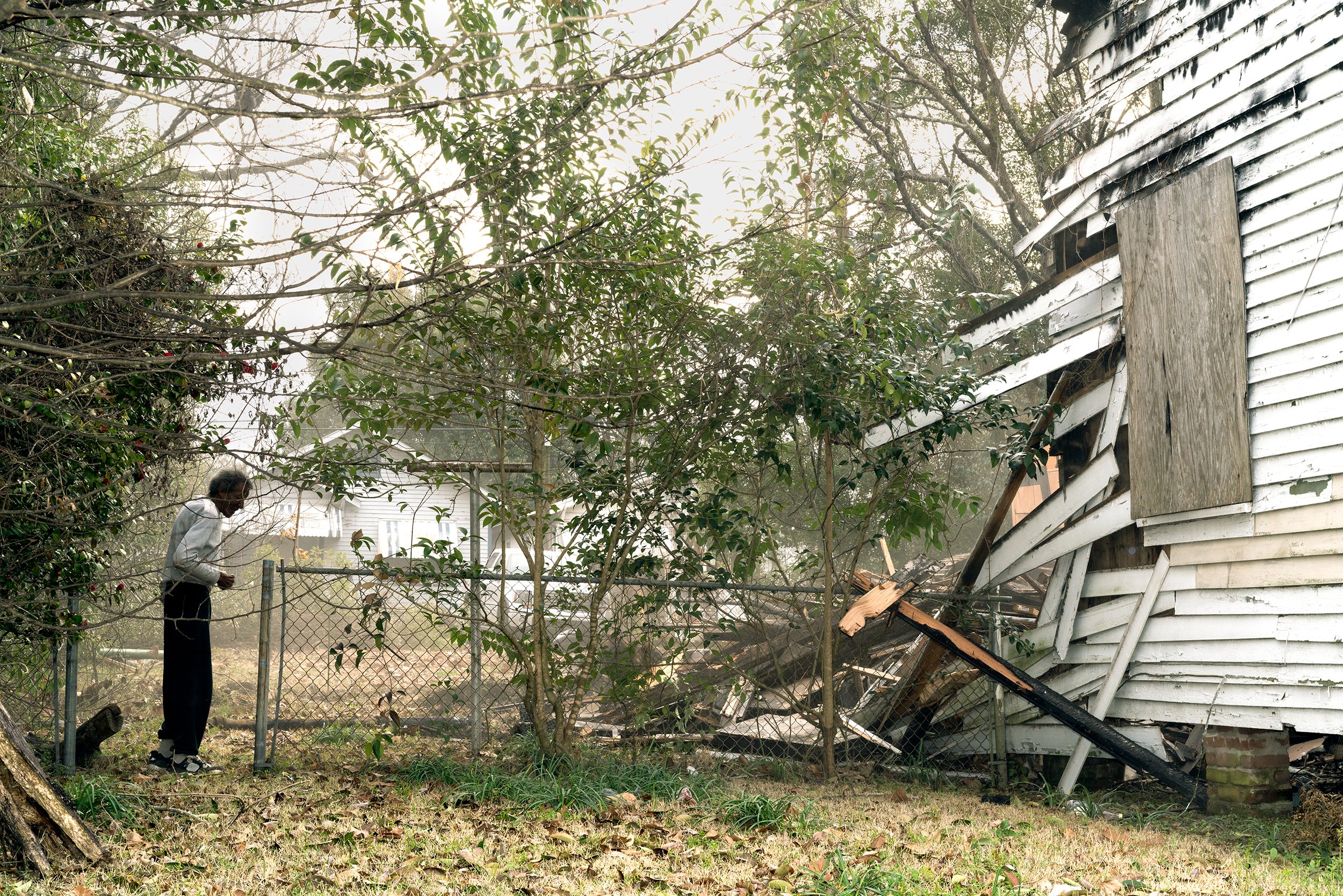
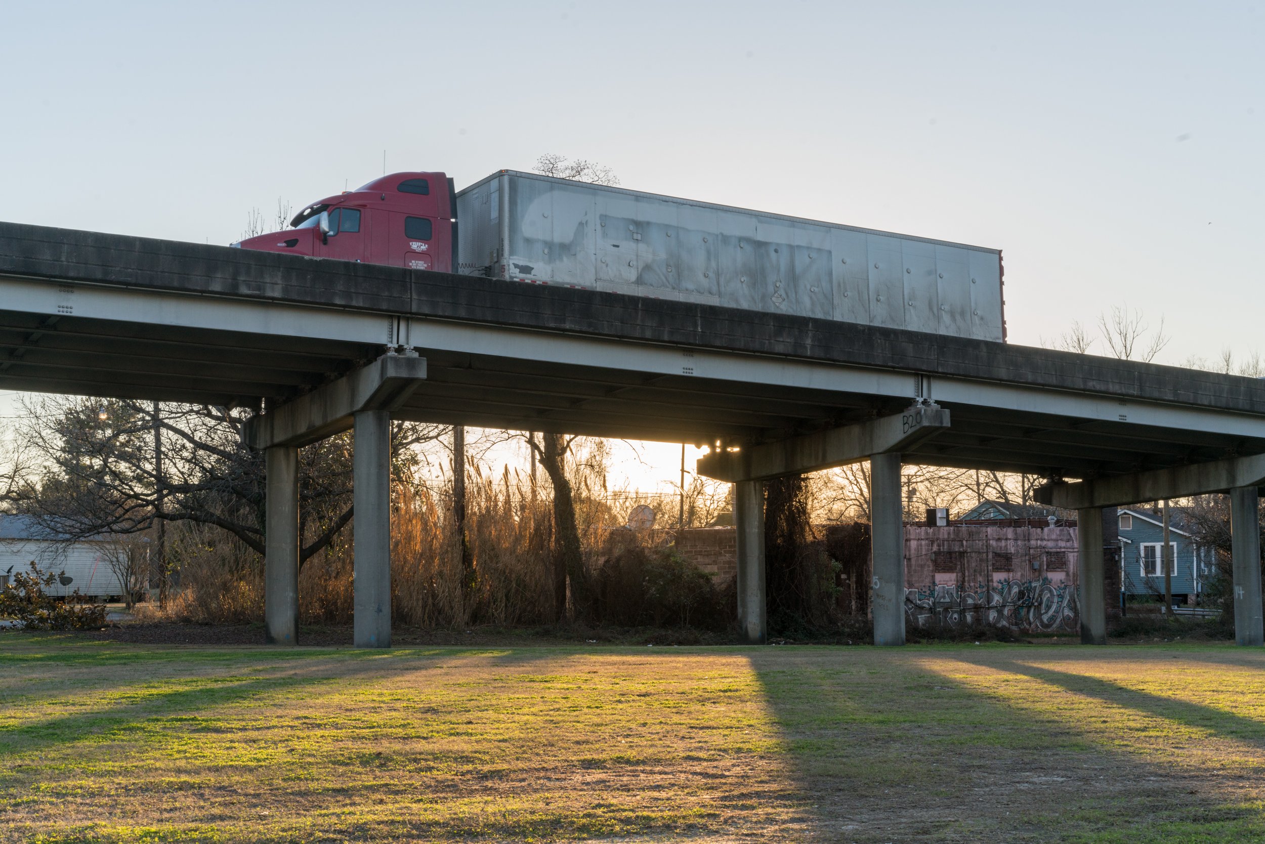
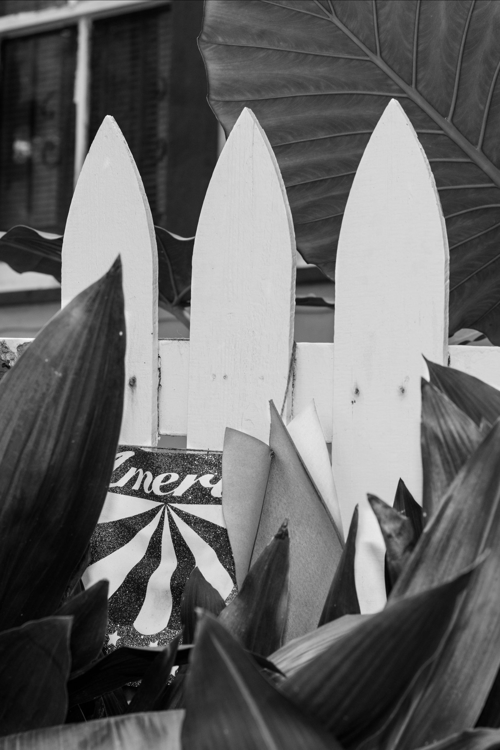
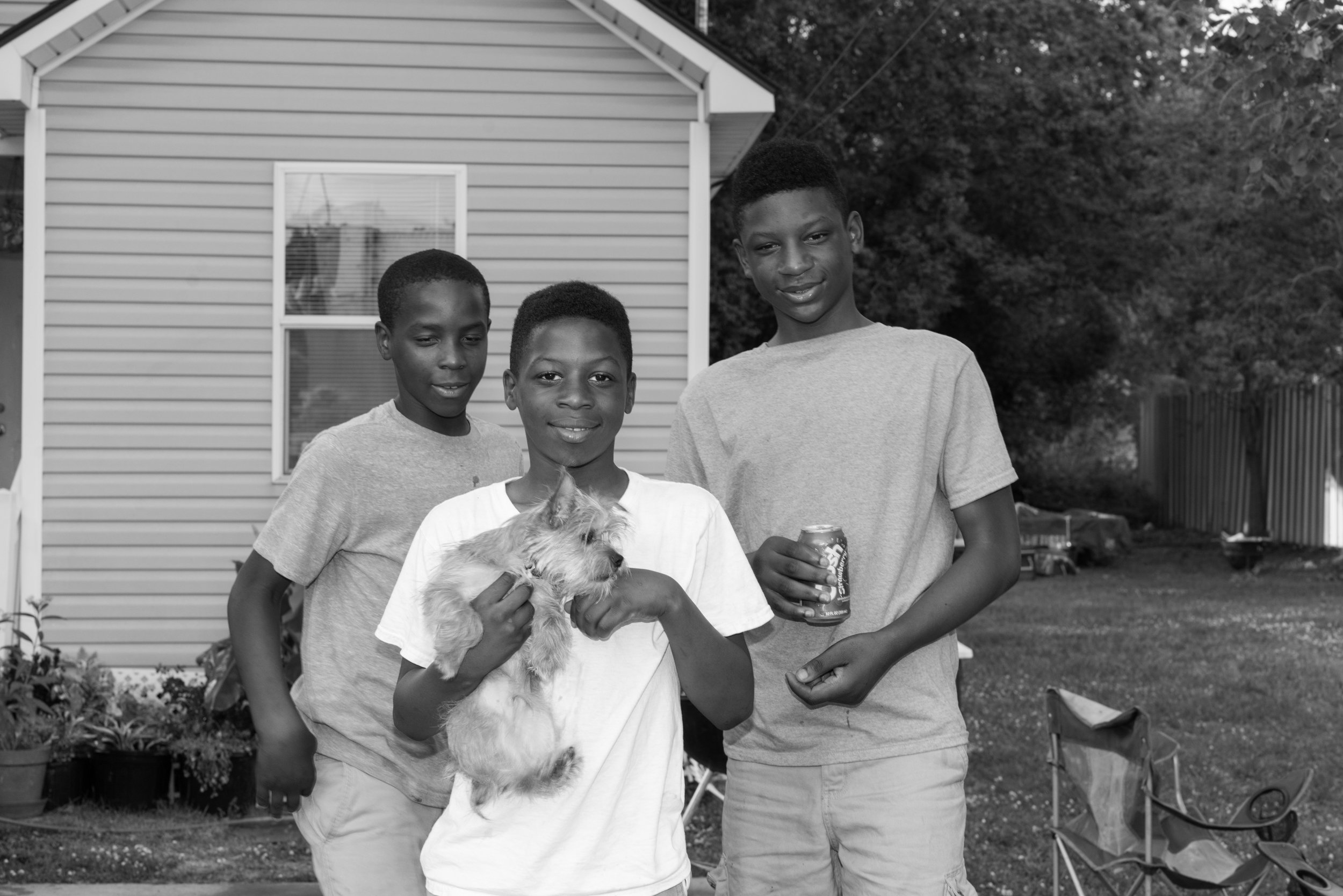
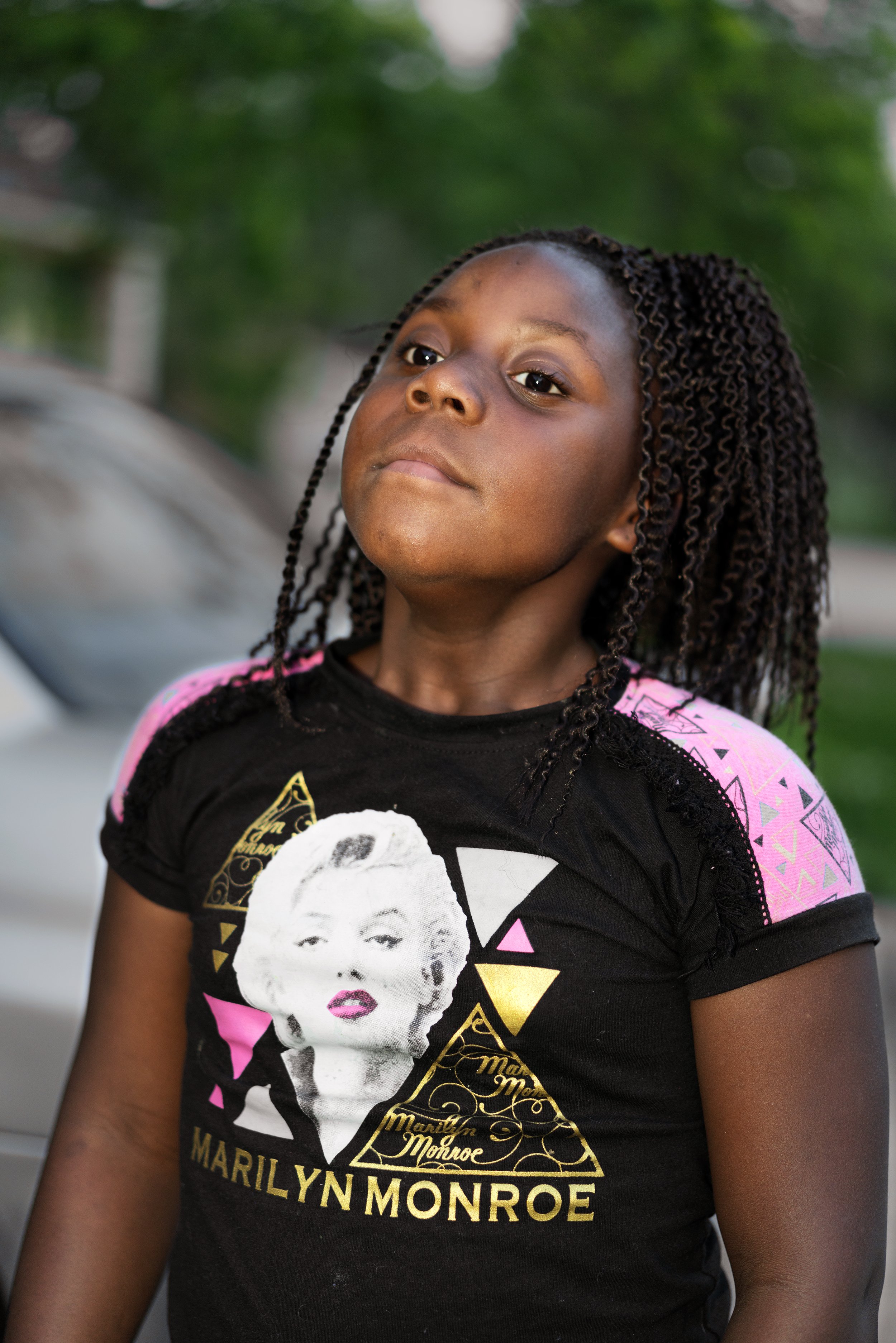
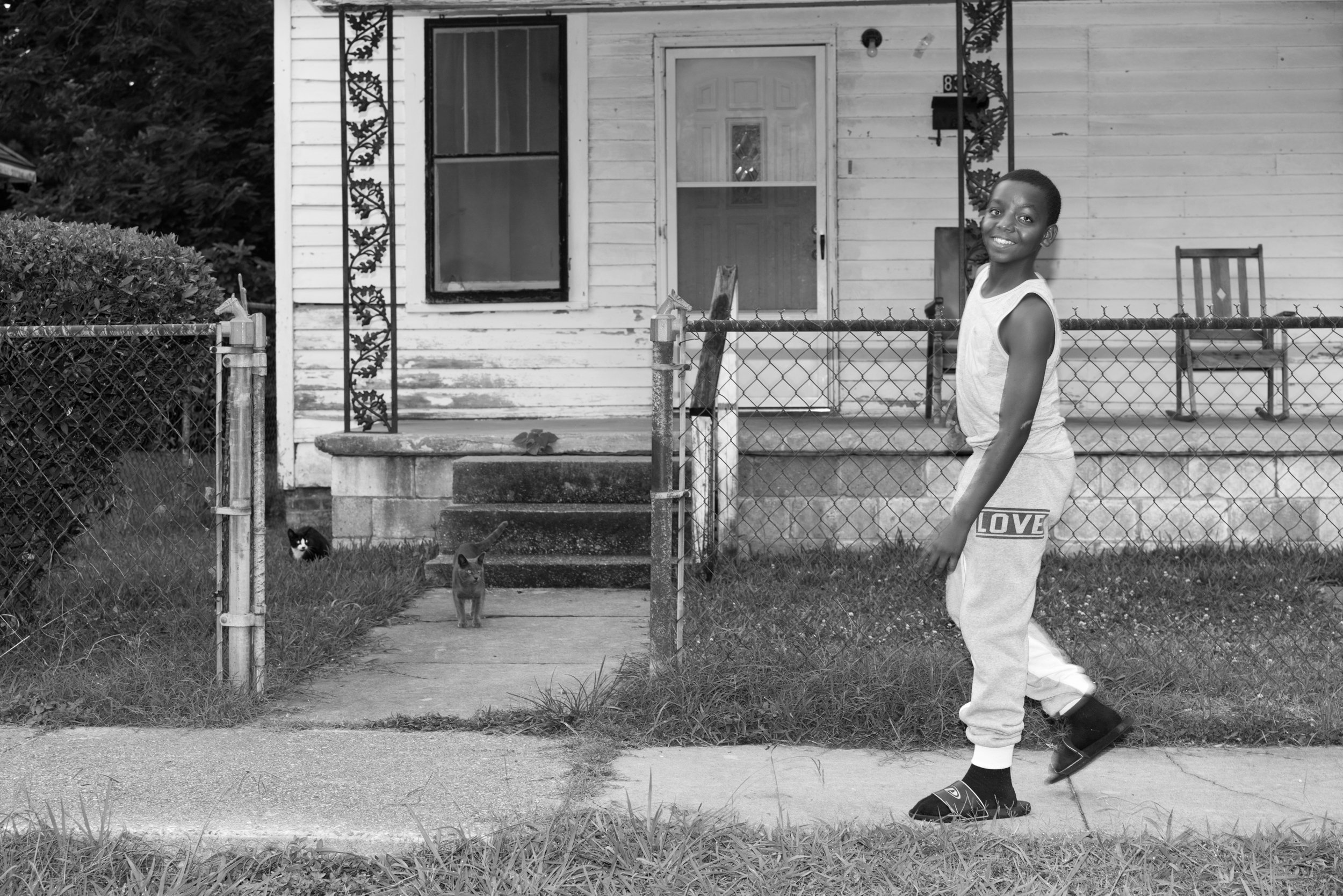
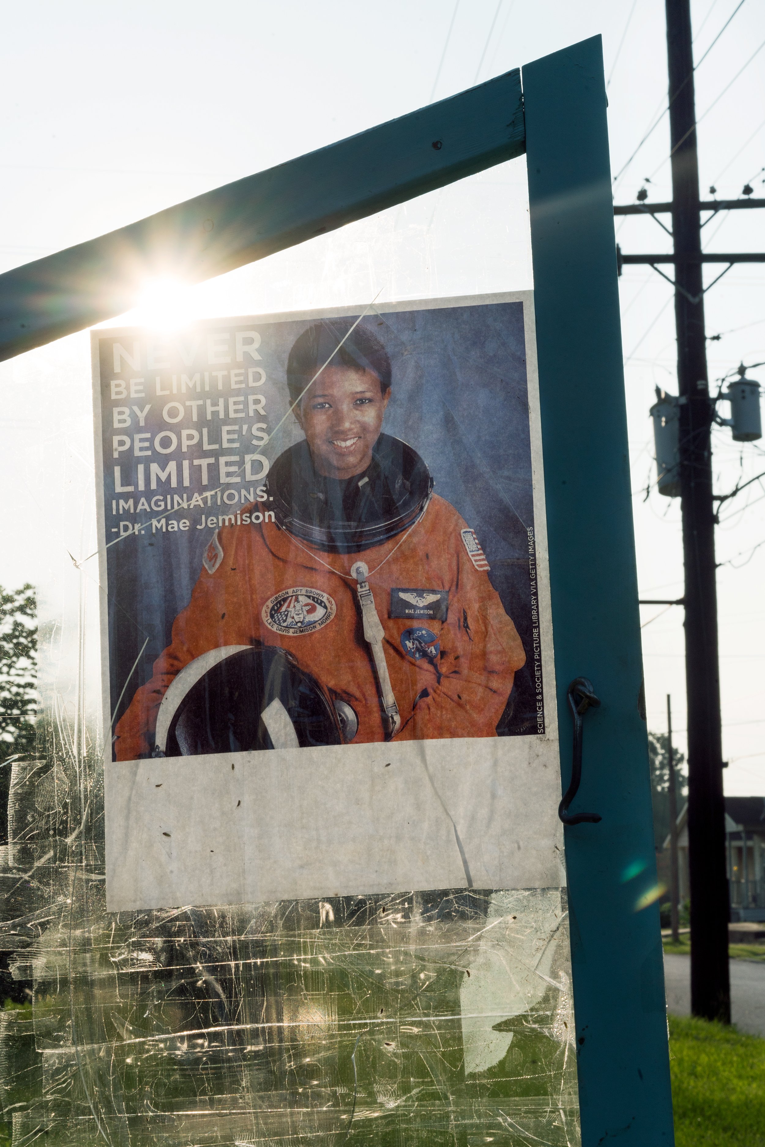
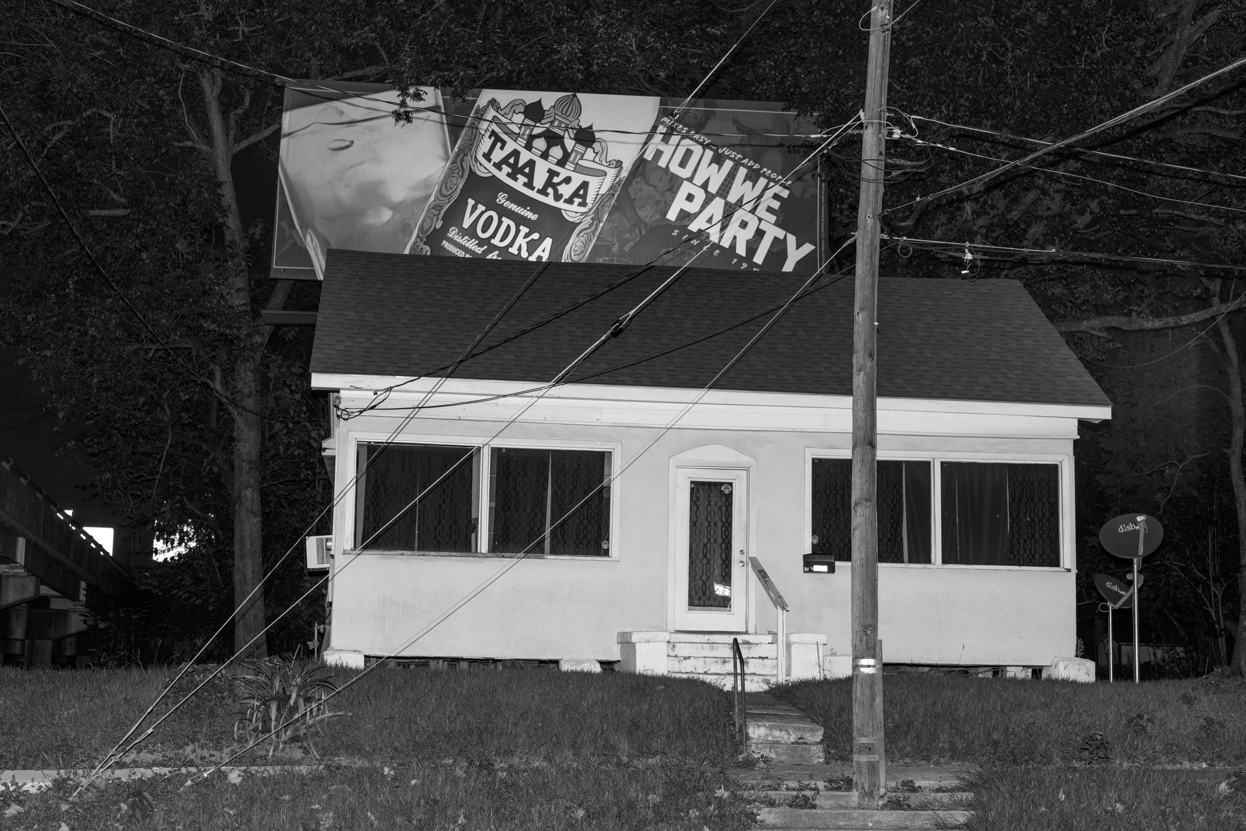
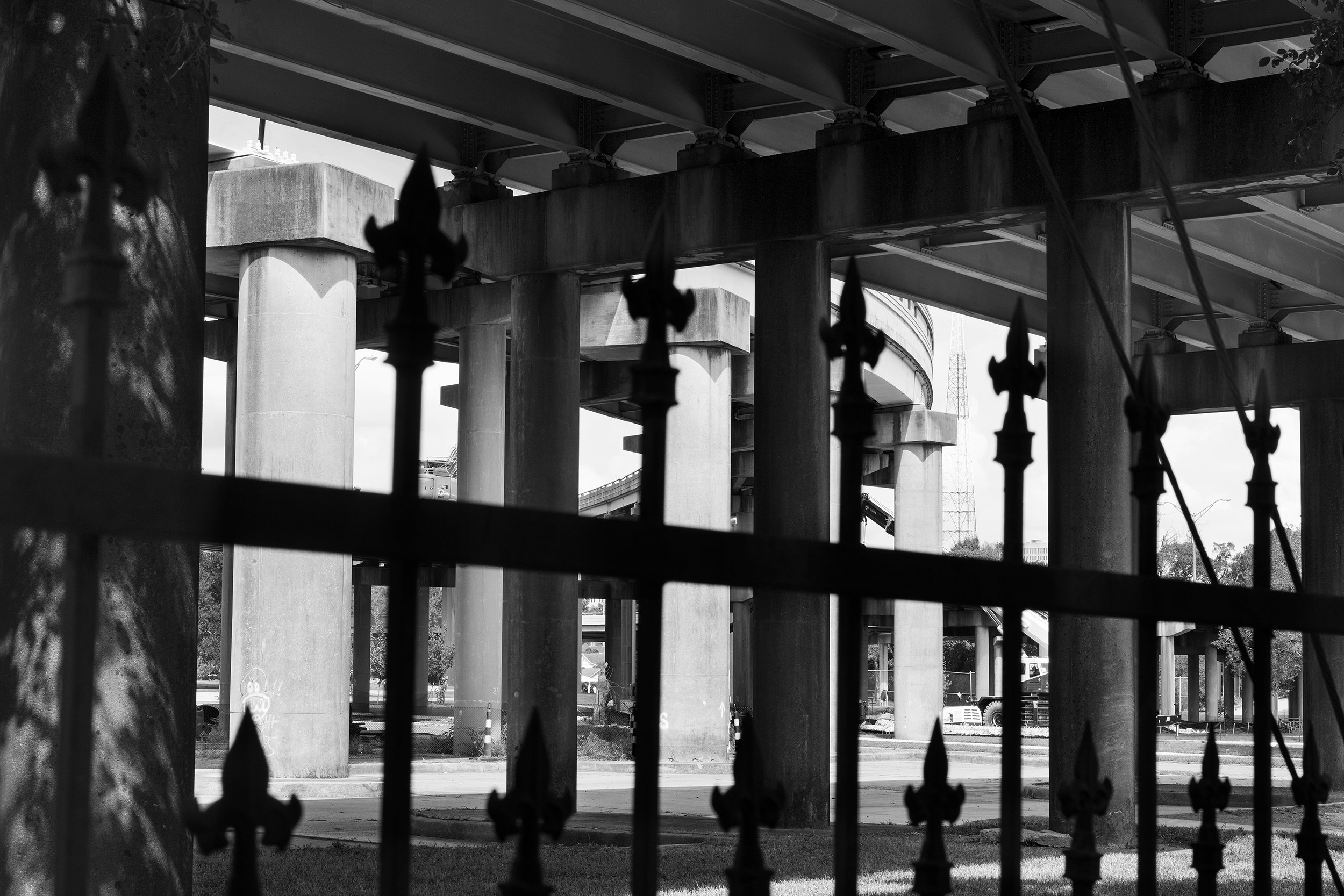
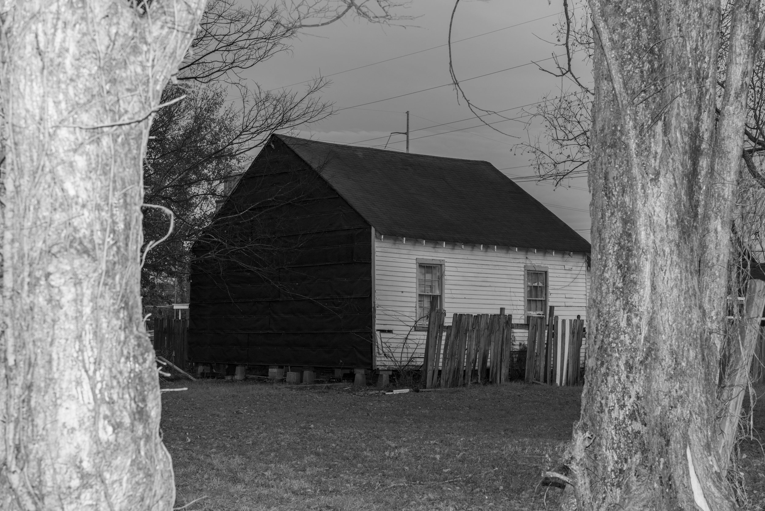
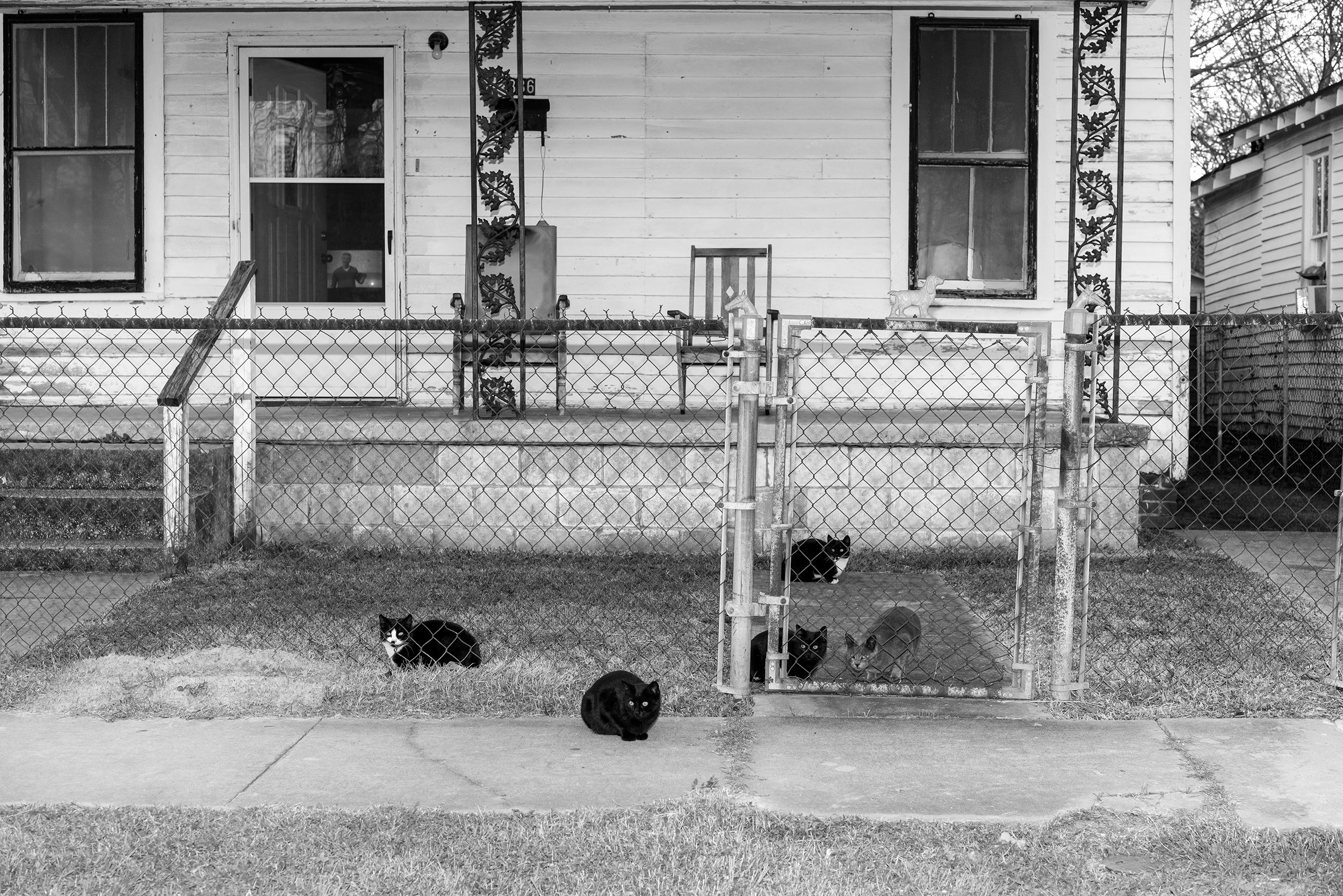
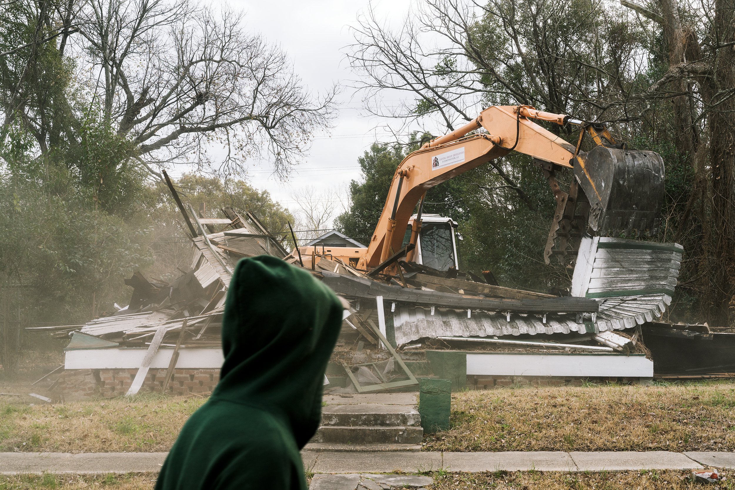
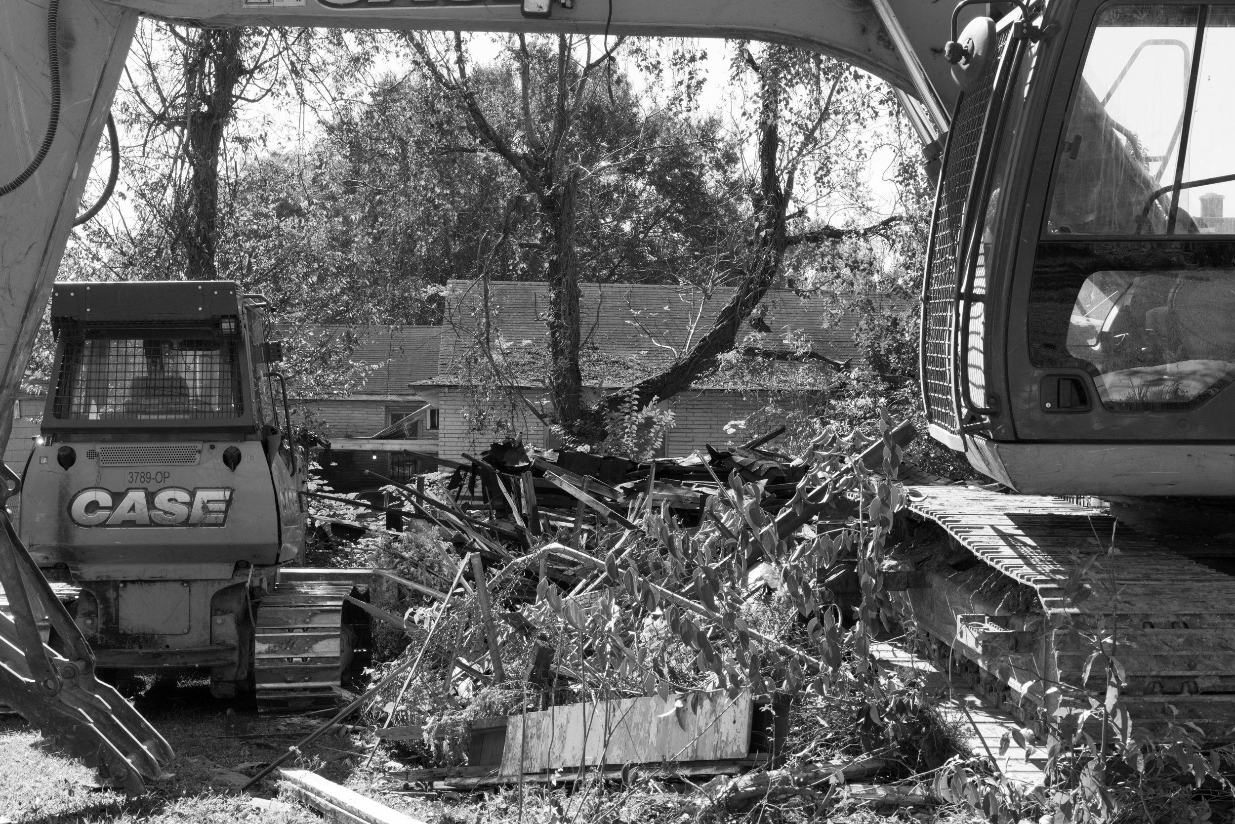
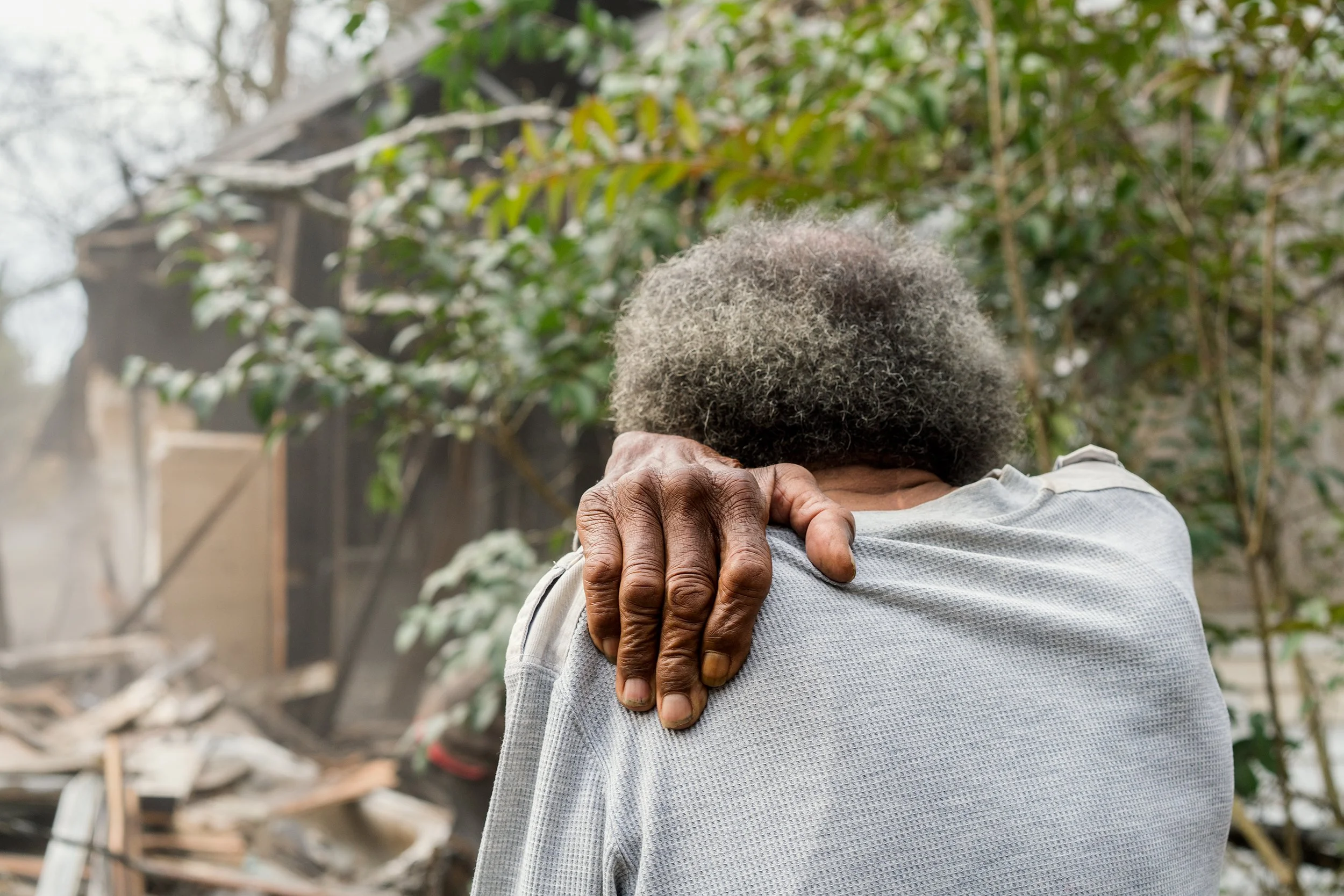
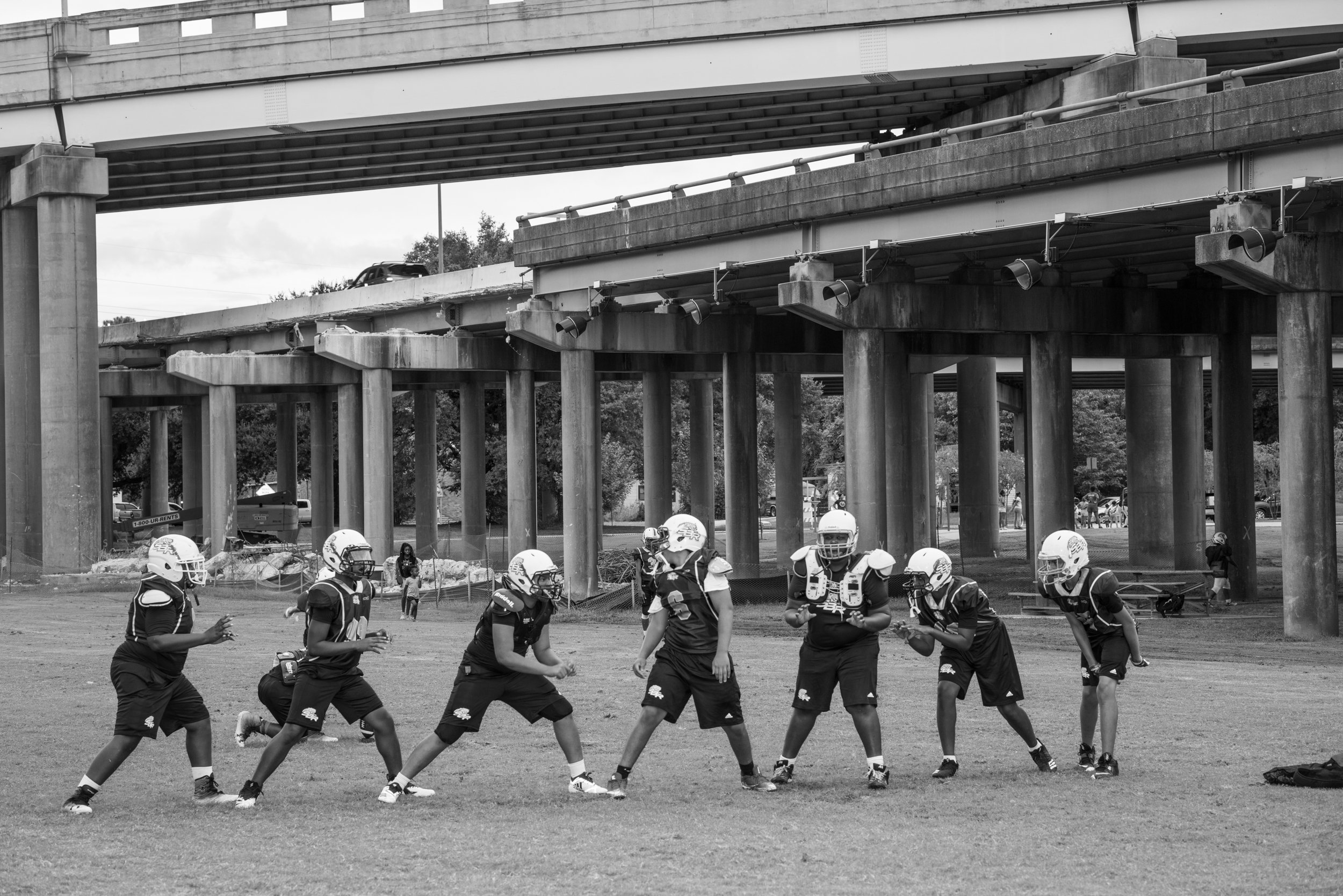
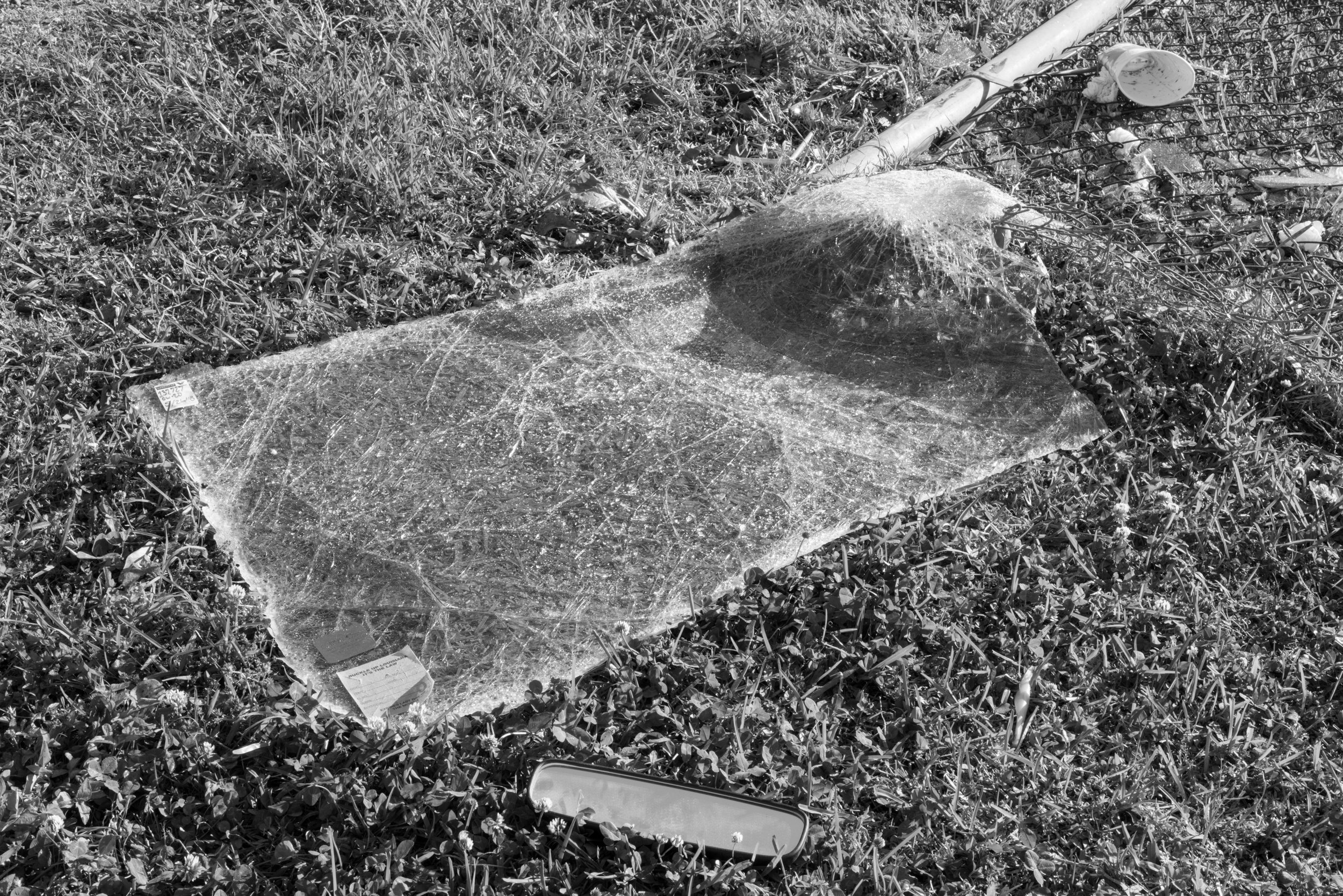
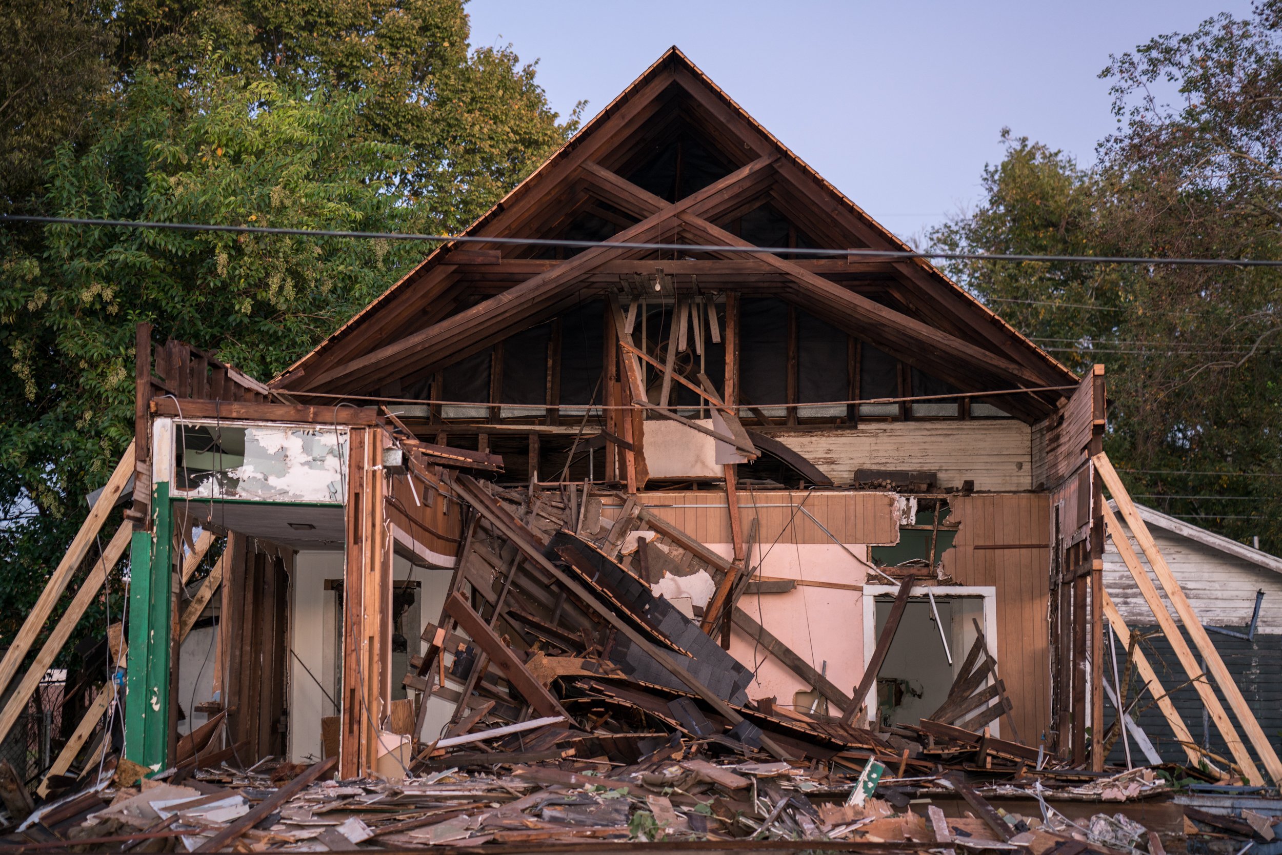
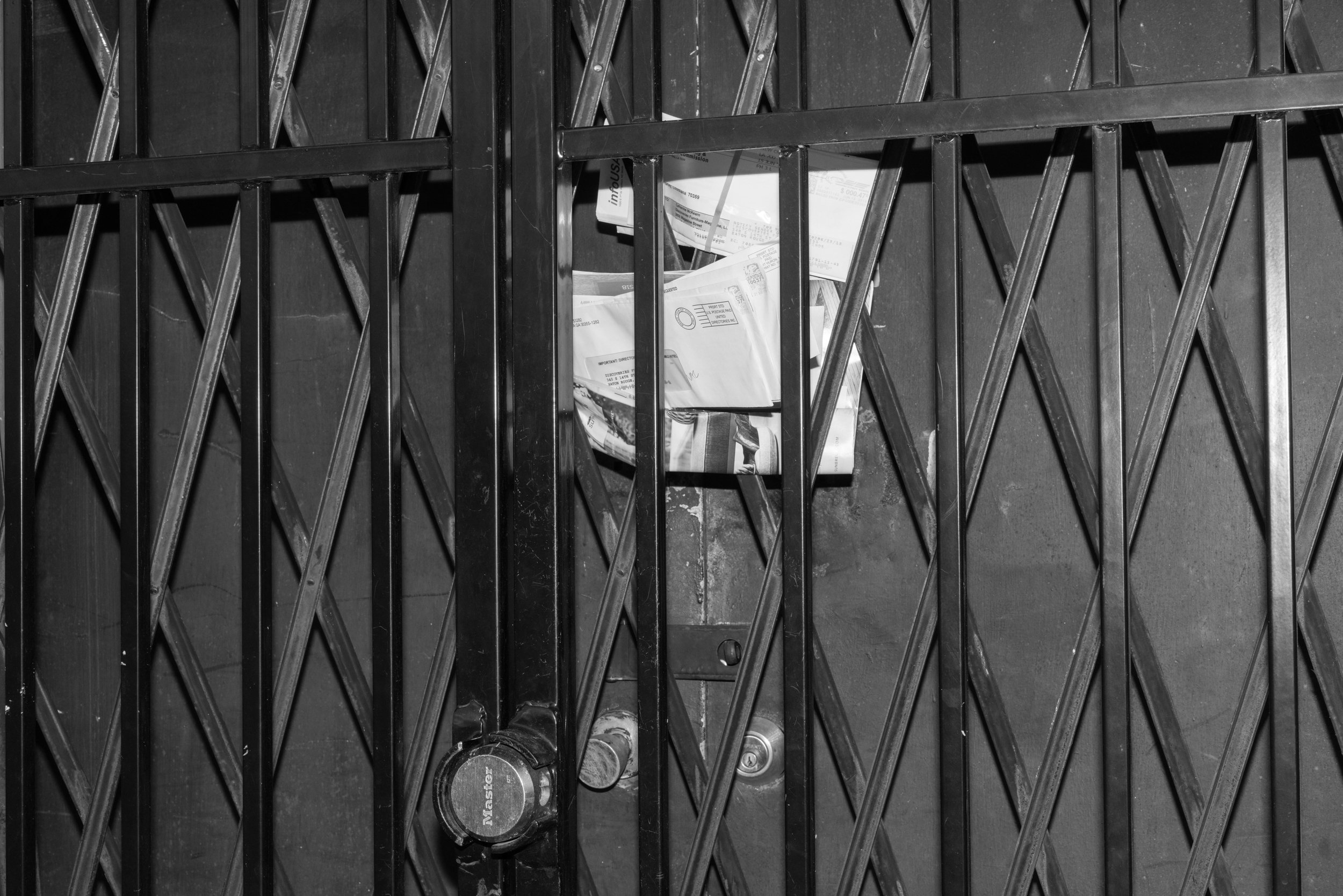
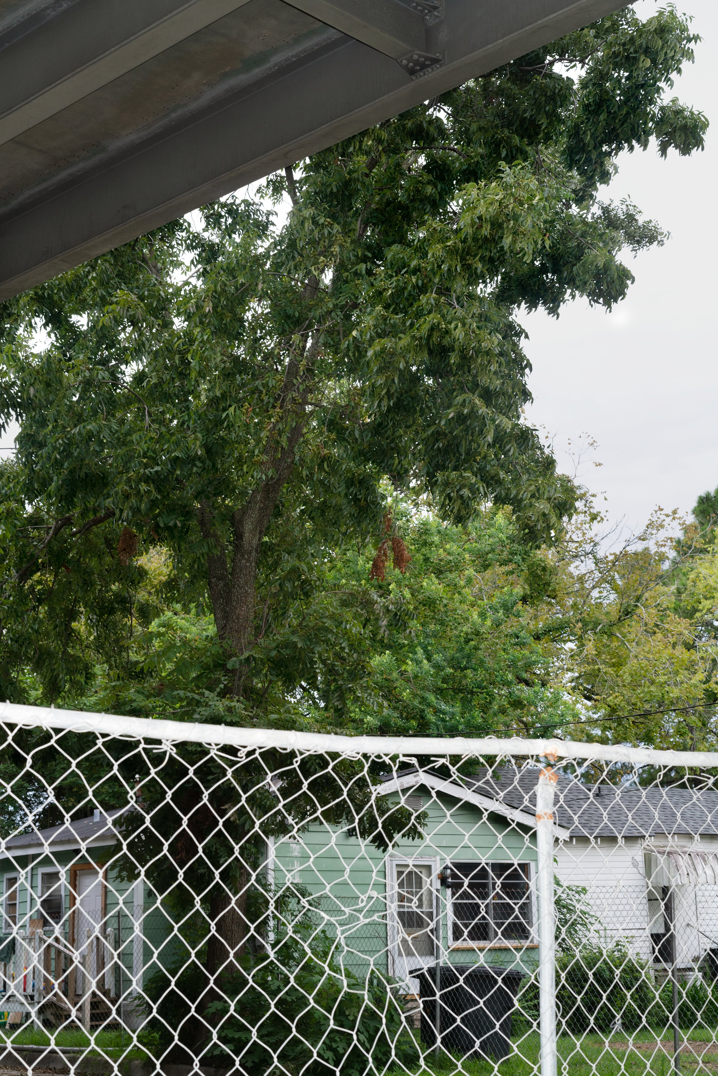
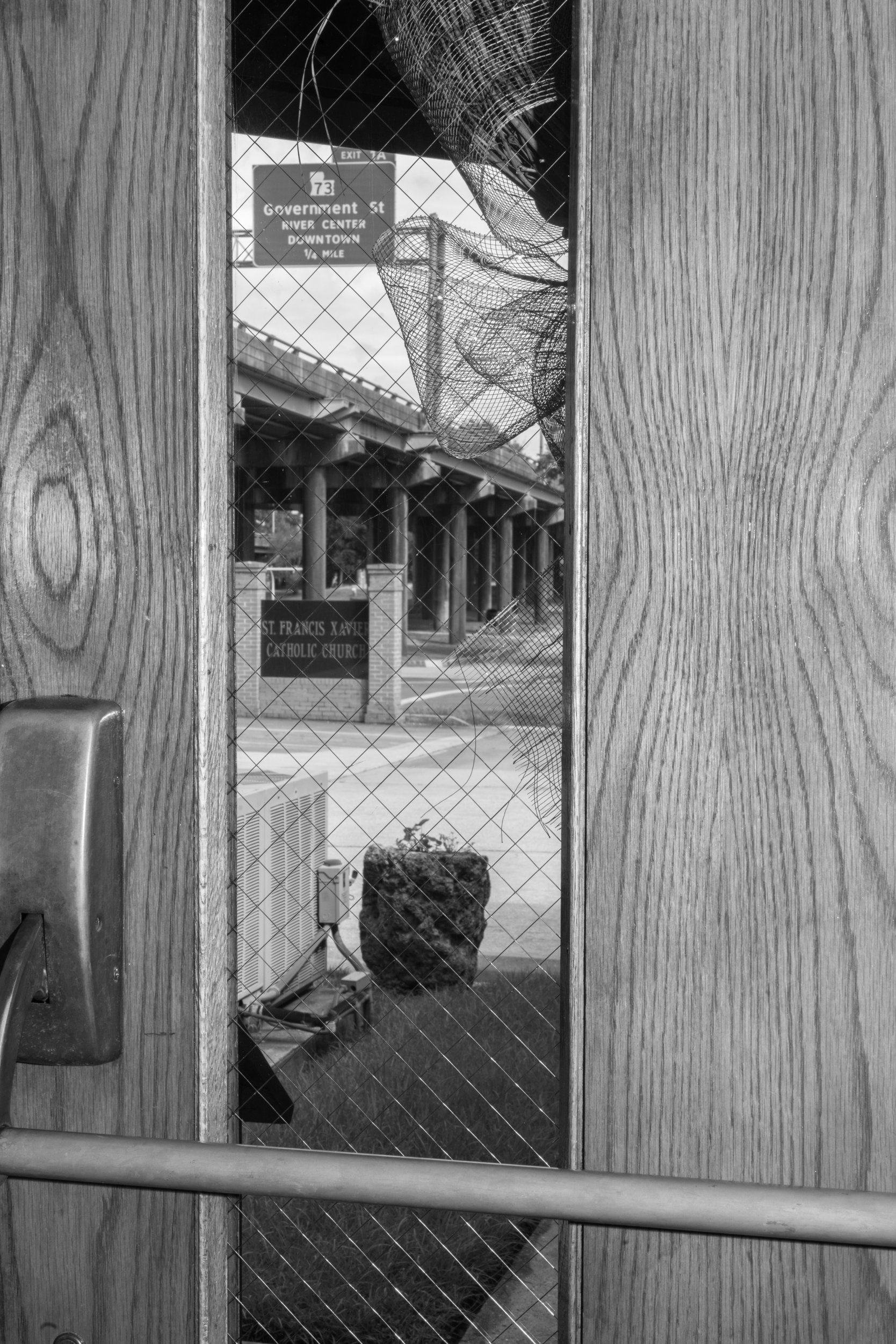
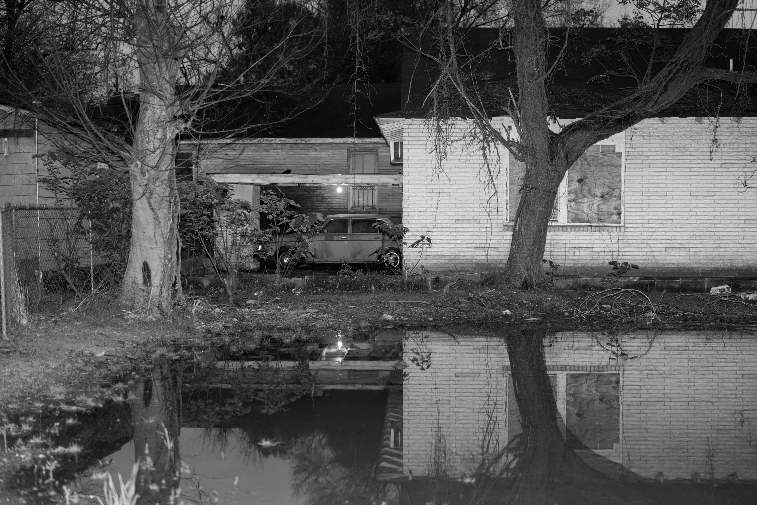
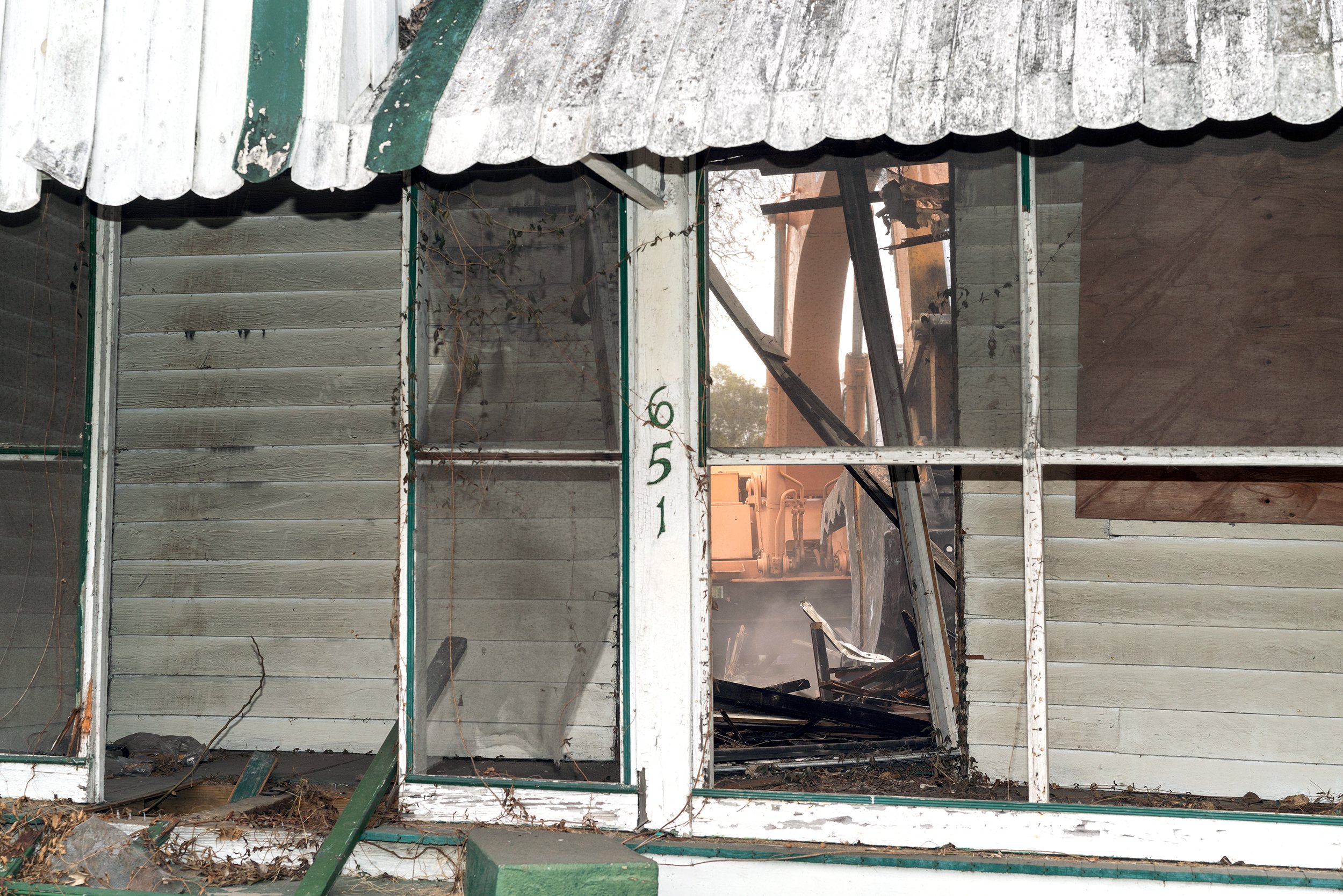
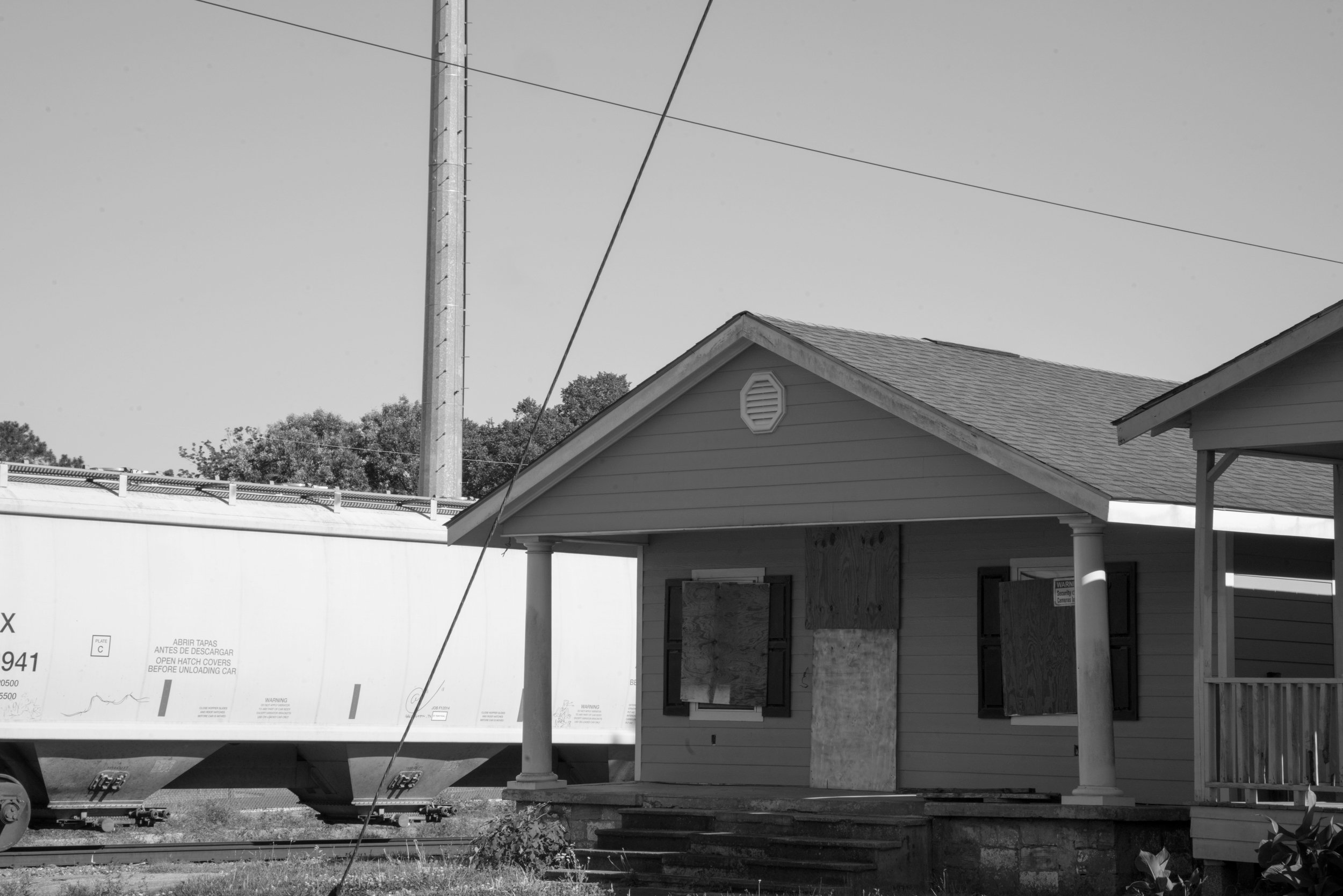
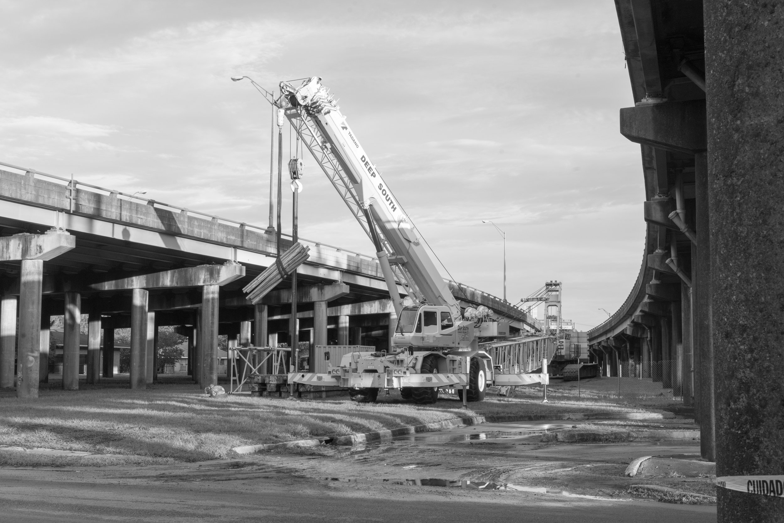
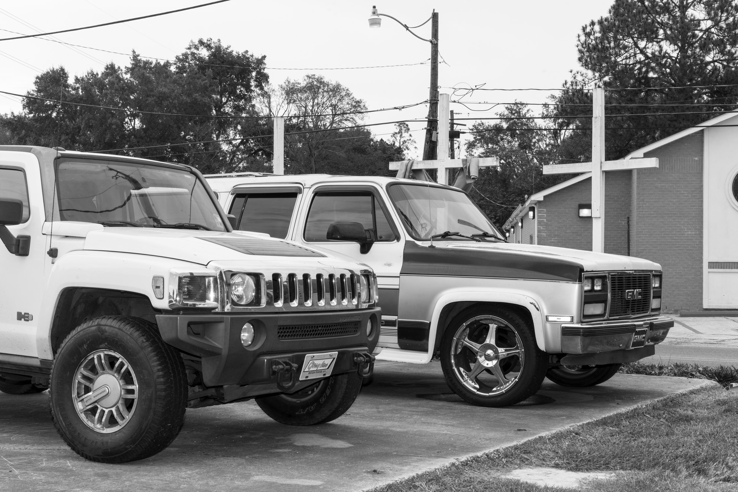
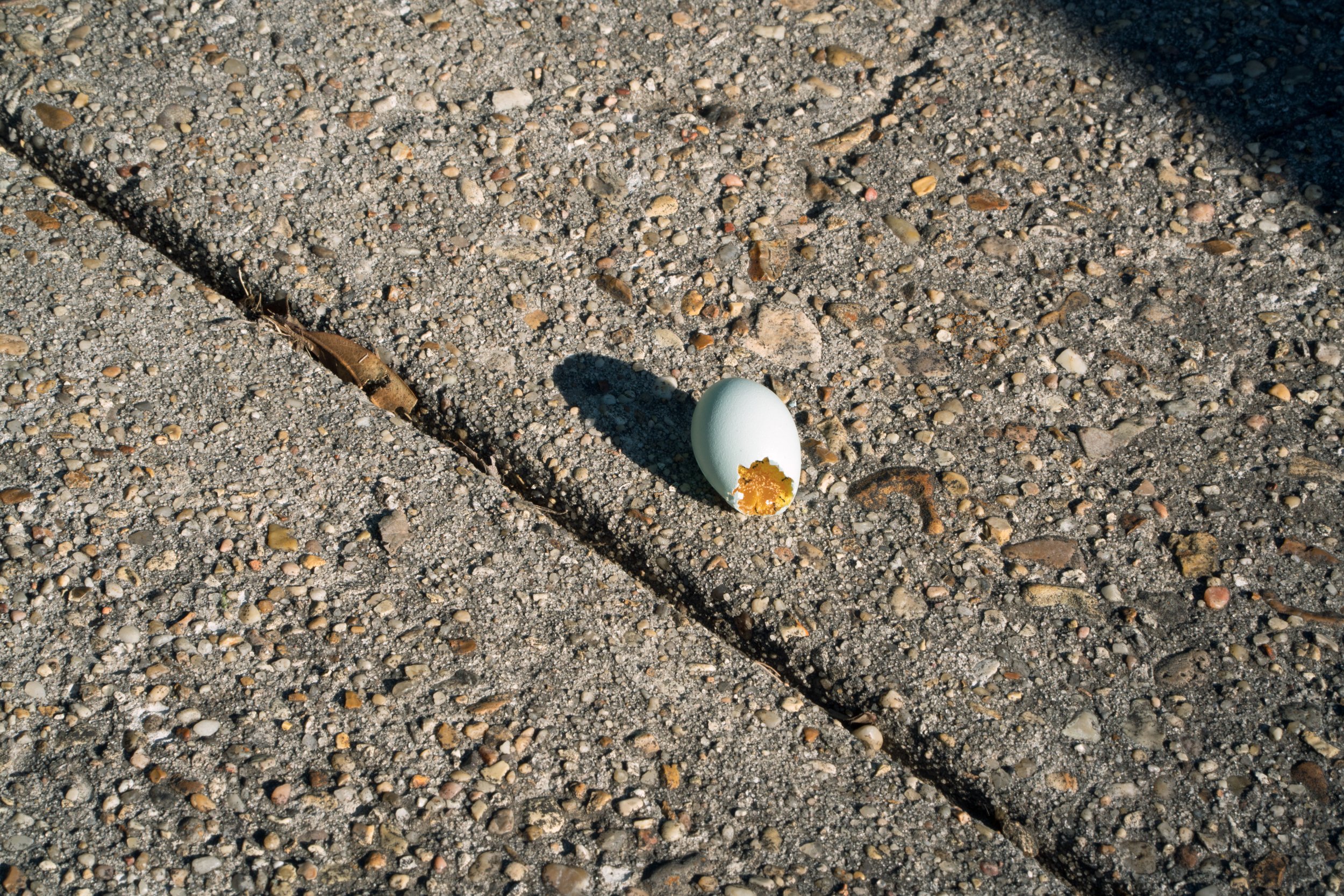
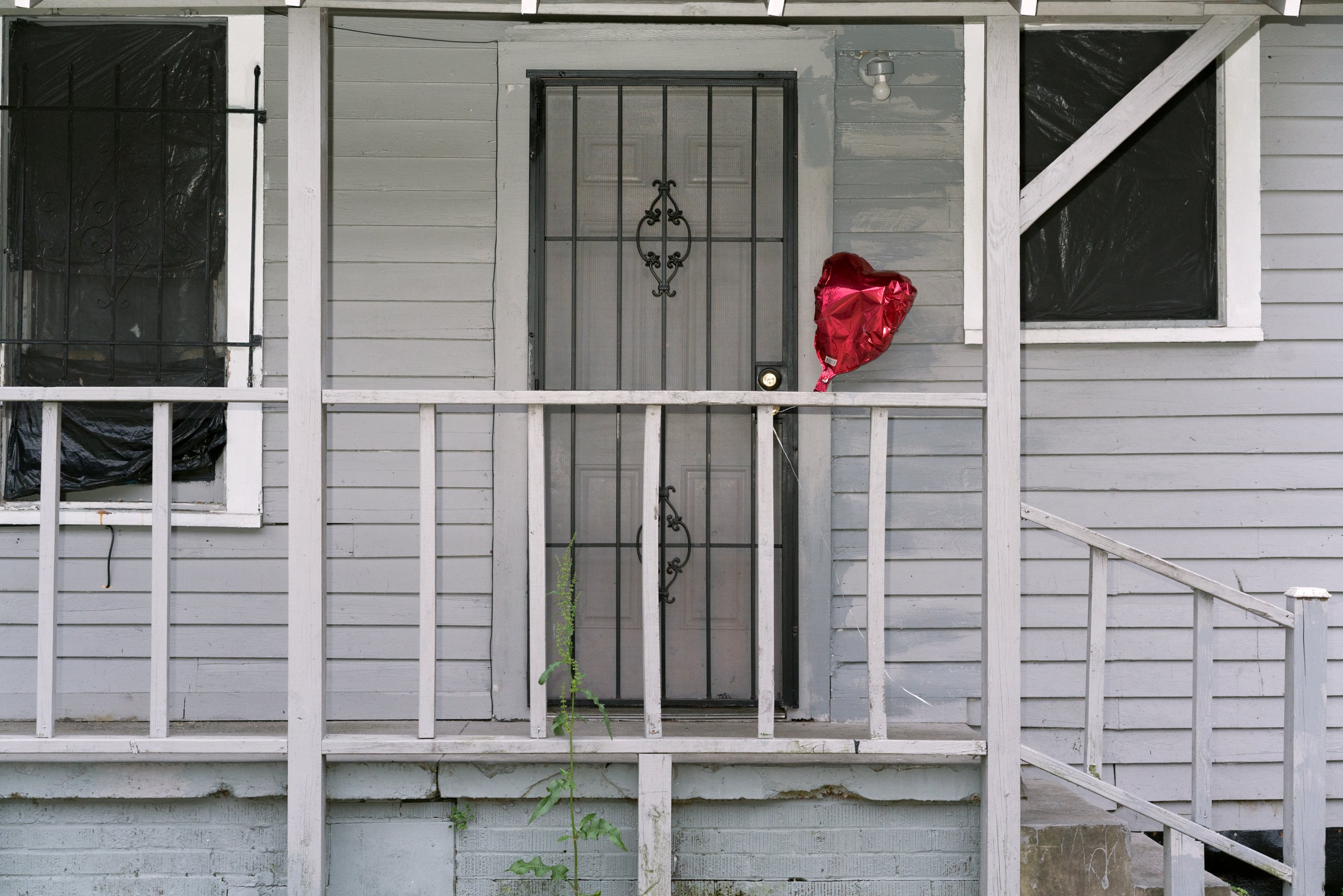
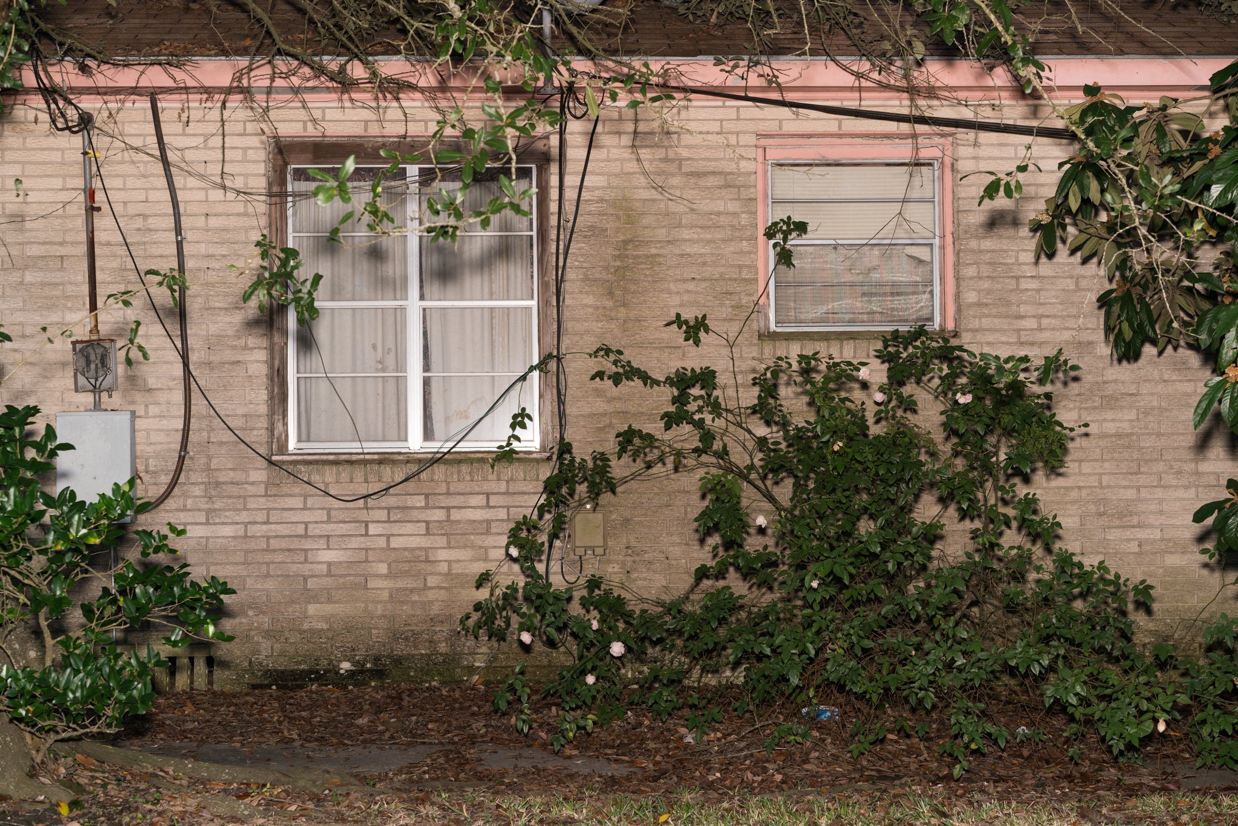
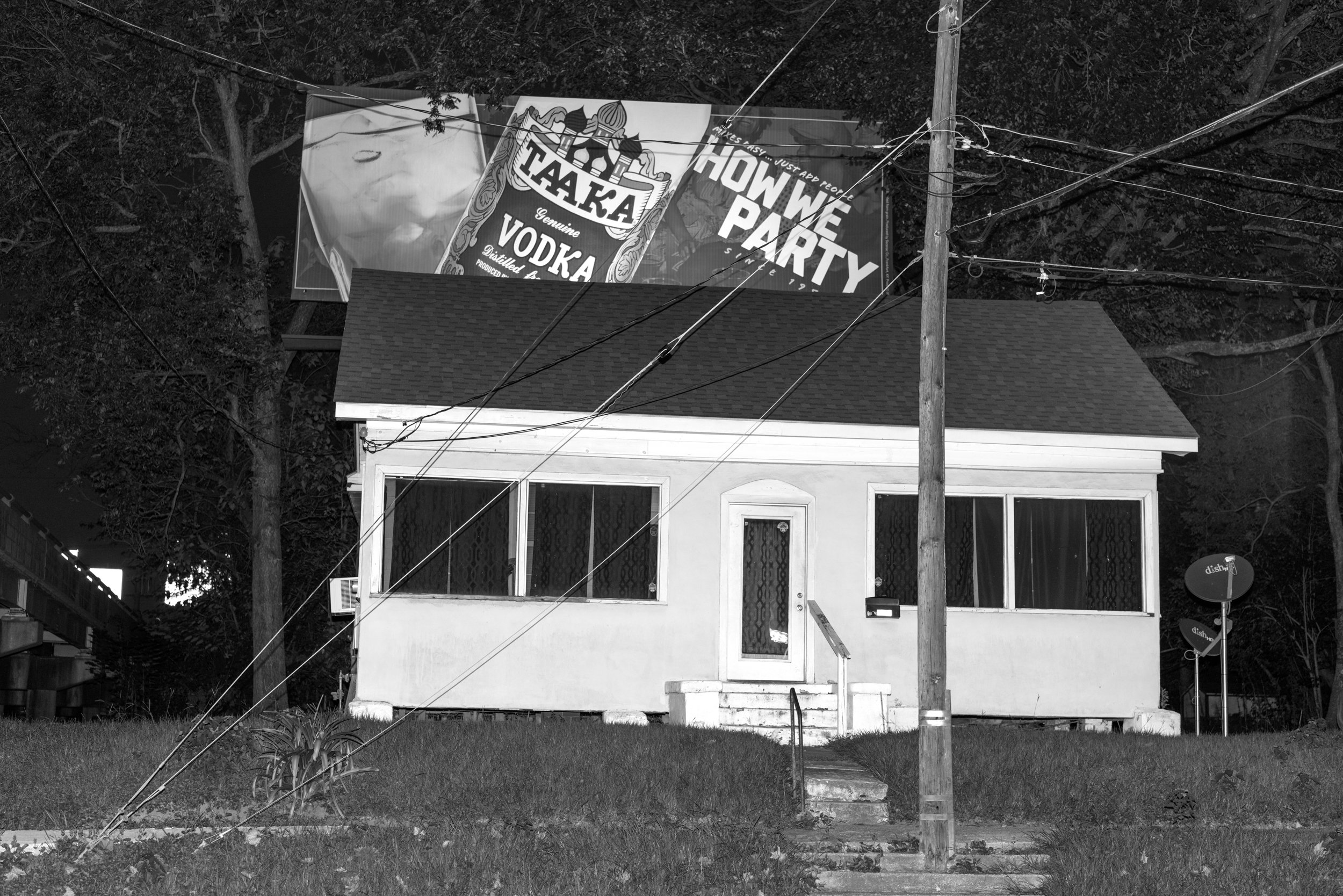
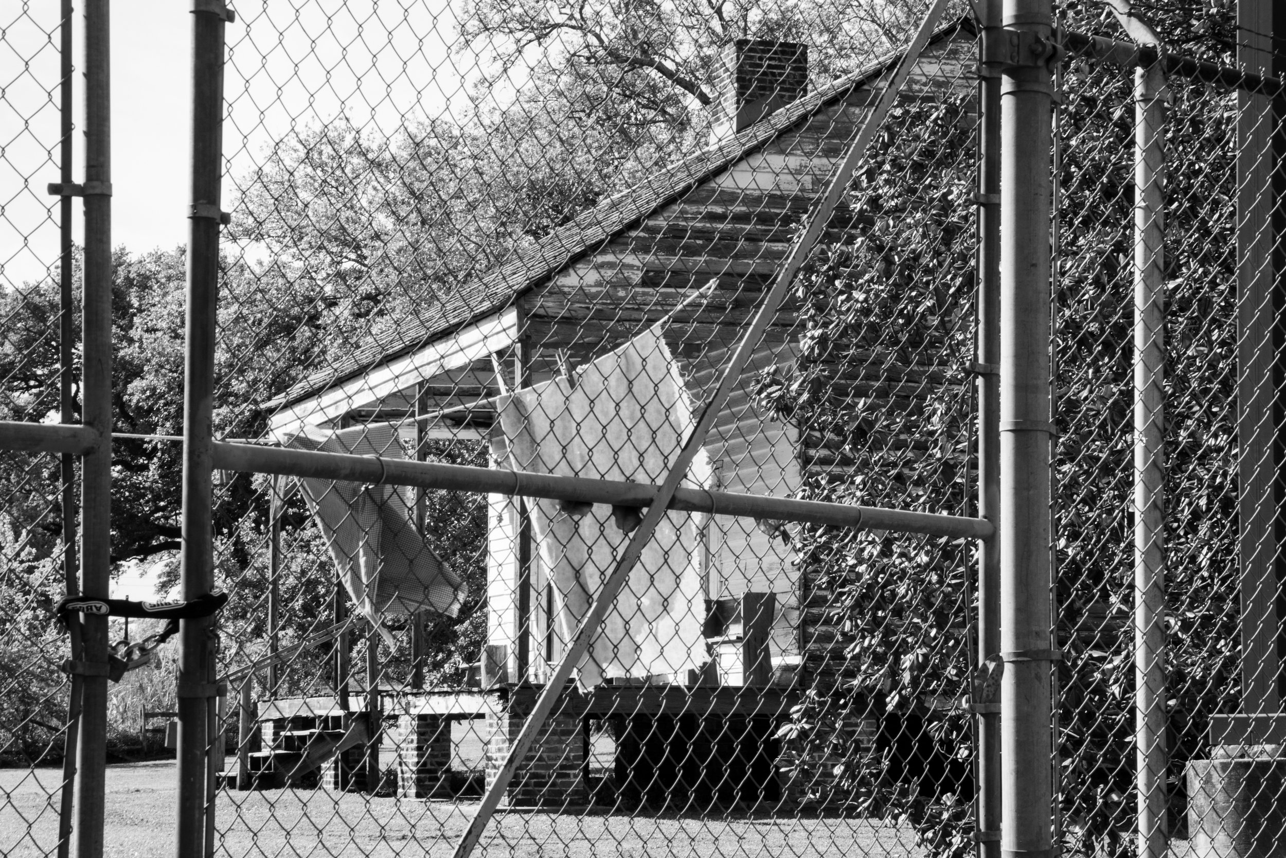
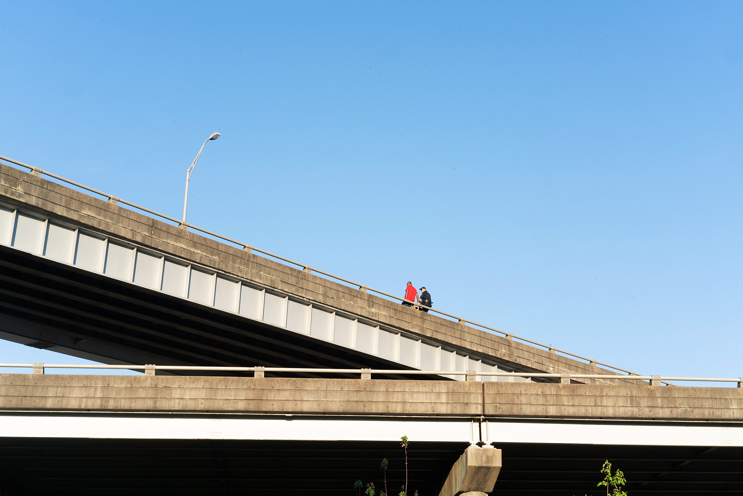
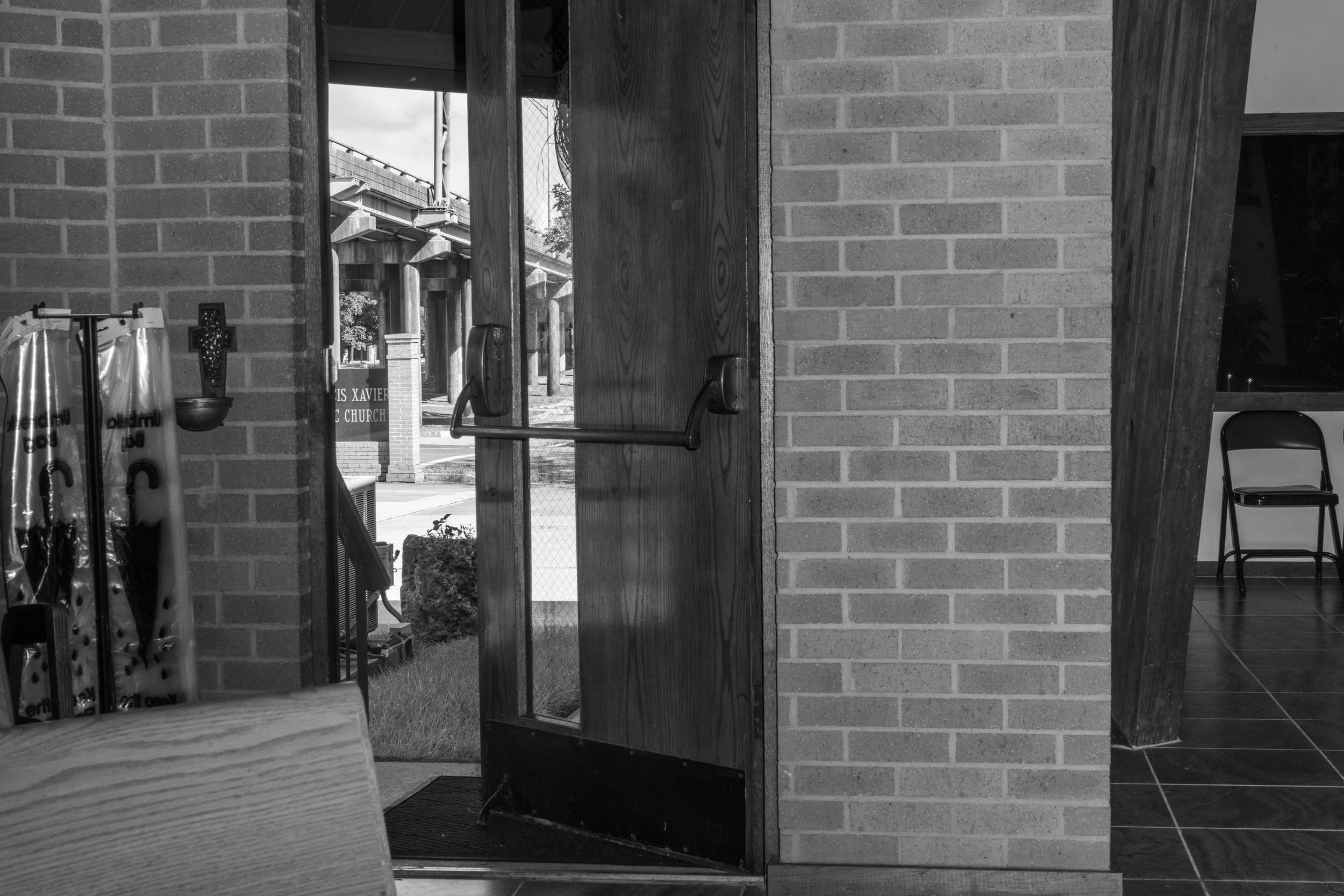
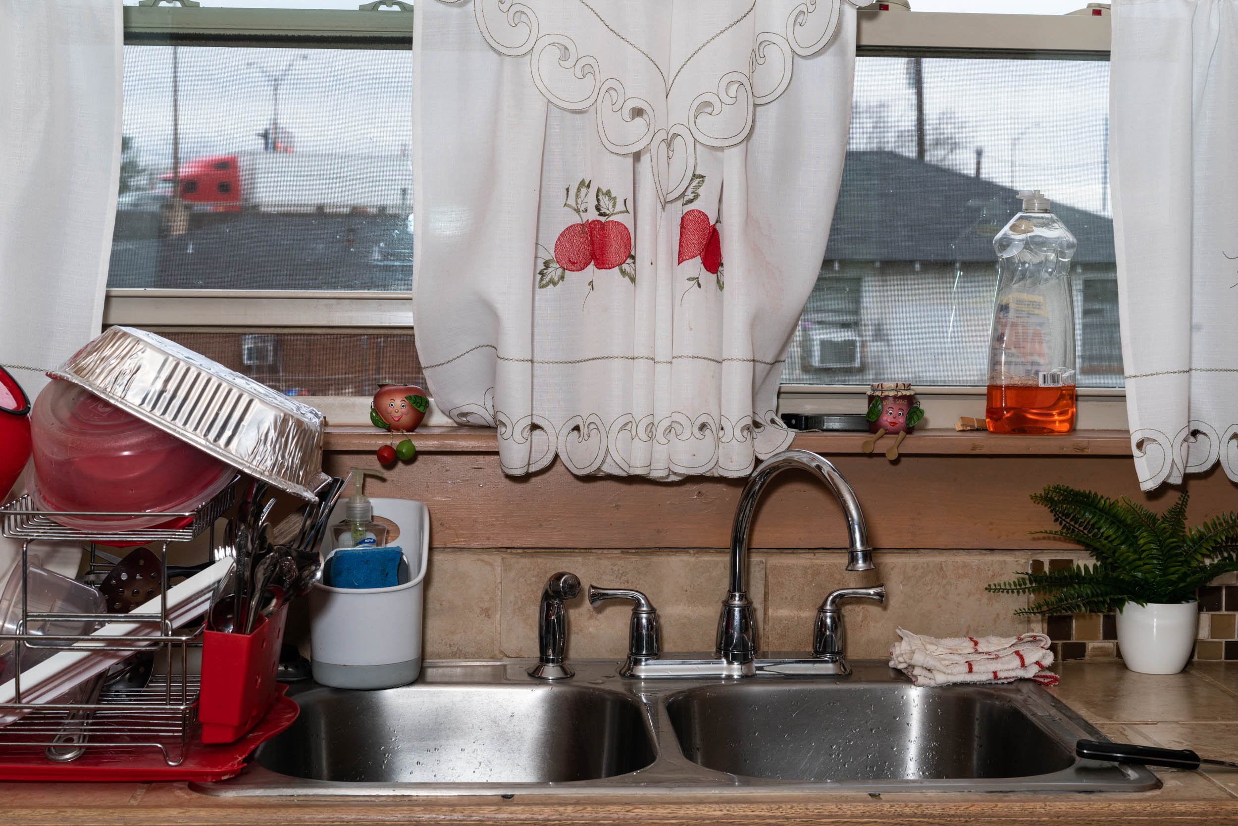
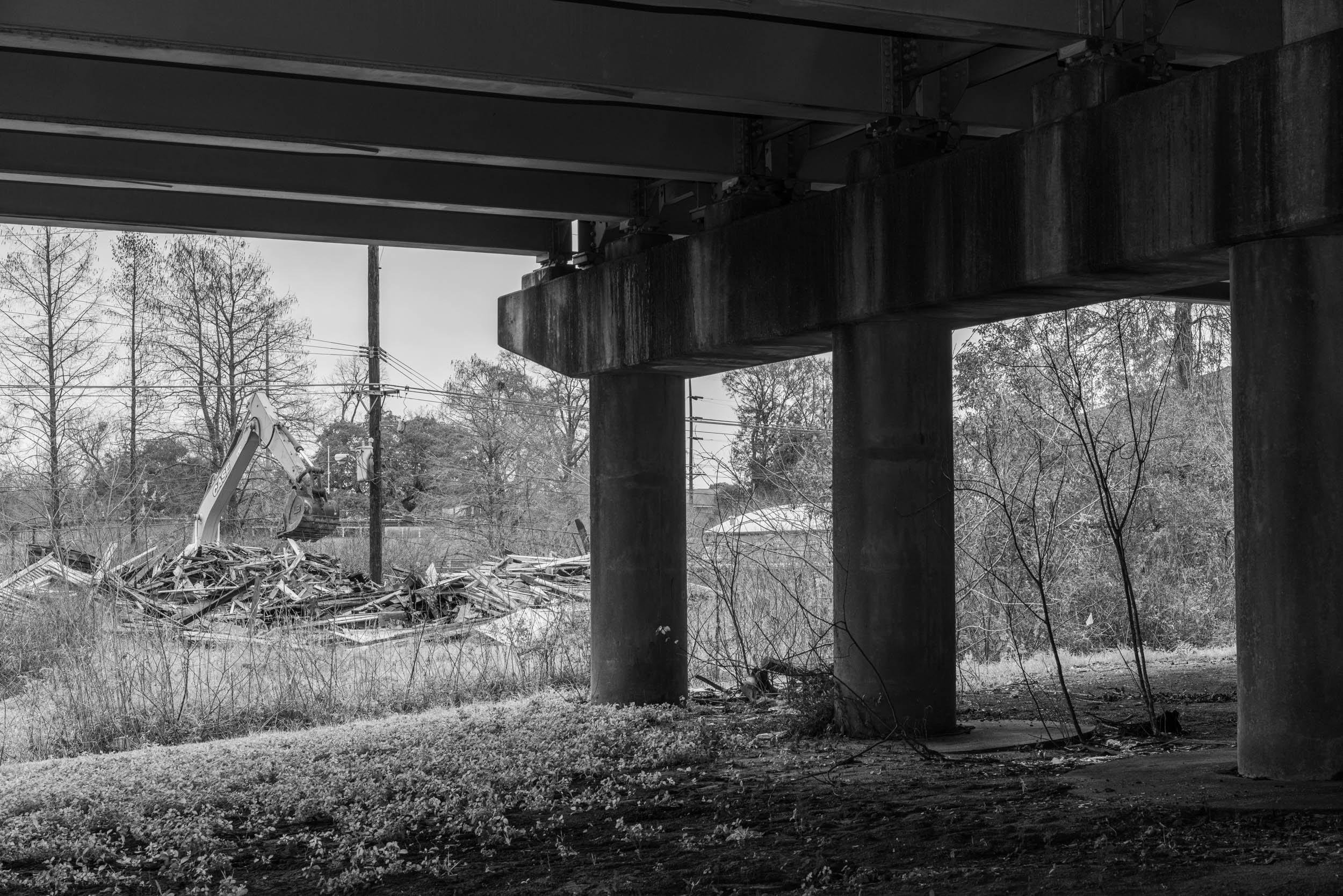
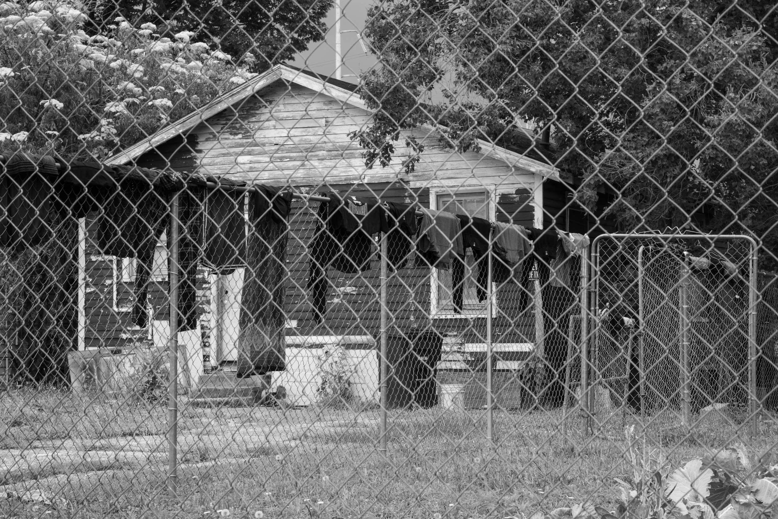
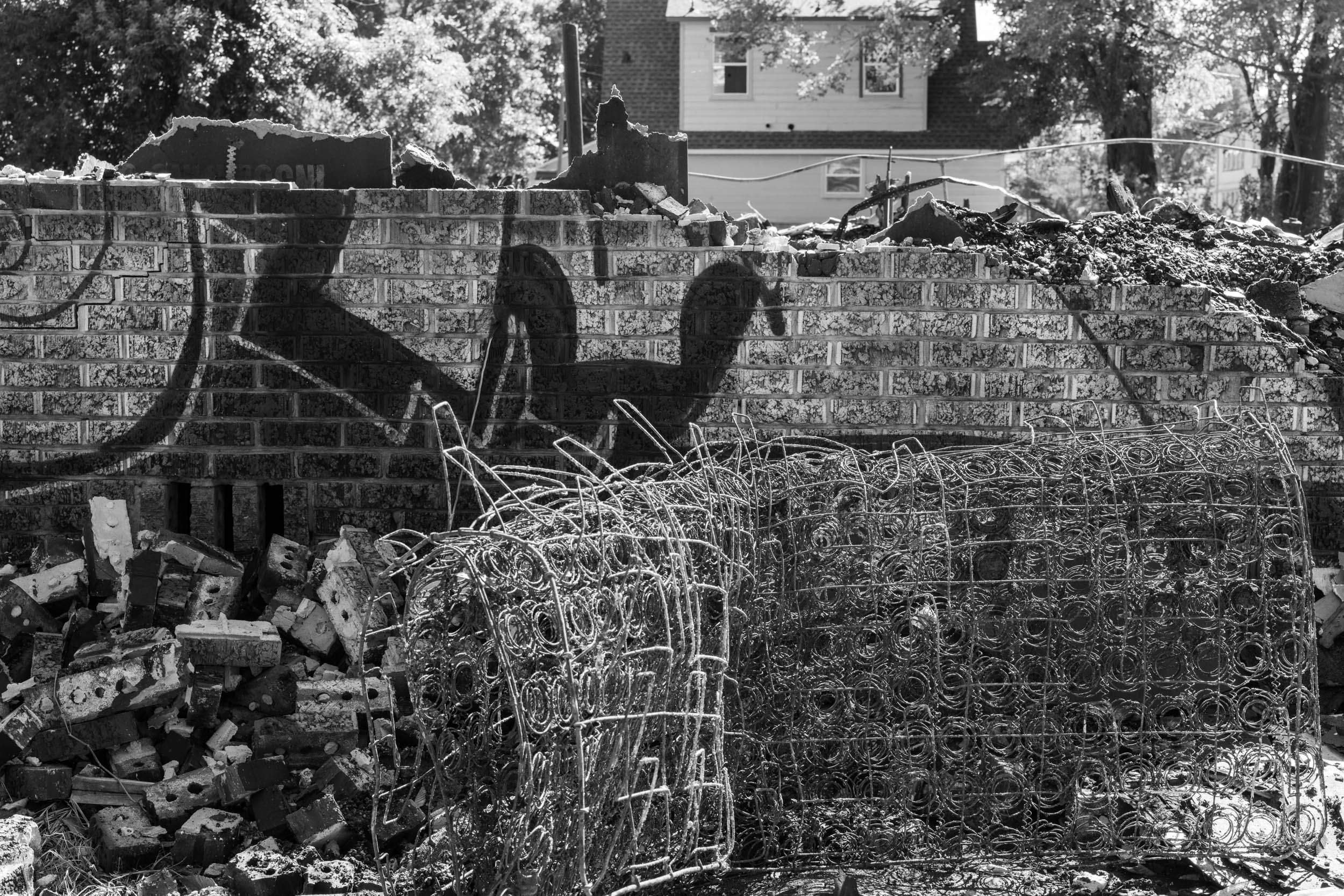
These photographs are an investigation of the historic neighborhood Old South Baton Rouge in Louisiana. The elevated interstate is the framework for this series. I photograph the physicality of the highway, using it as a shadow over this place. The small houses that sit virtually underneath it, the barriers it creates, the traffic it invites through the community. I am looking closely at how it was built through this formerly segregated, low-income neighborhood. This is the neighborhood I live in, and I am photographing the landscape, residents and historical documents to look at how the past has shaped this area. While examining this history, I am documenting the future, as the highway is currently being expanded, with another series of homes and businesses scheduled to be razed.
Originally, this area was the Magnolia Mound Plantation. It was sold and divided into small shotgun lots in the early 1900s, by design creating a low-income neighborhood. It was a thriving and self-sustained neighborhood during segregation in the 1950s. It was desegregation and the building of the I-10 highway that drove the area to near collapse in the 1960s. The title The Bottom references a name given to the community because it sits below a fault line and is prone to flooding, a name that refers to the poverty of the area, and a name that references it sitting in the shadows of the elevated highway.
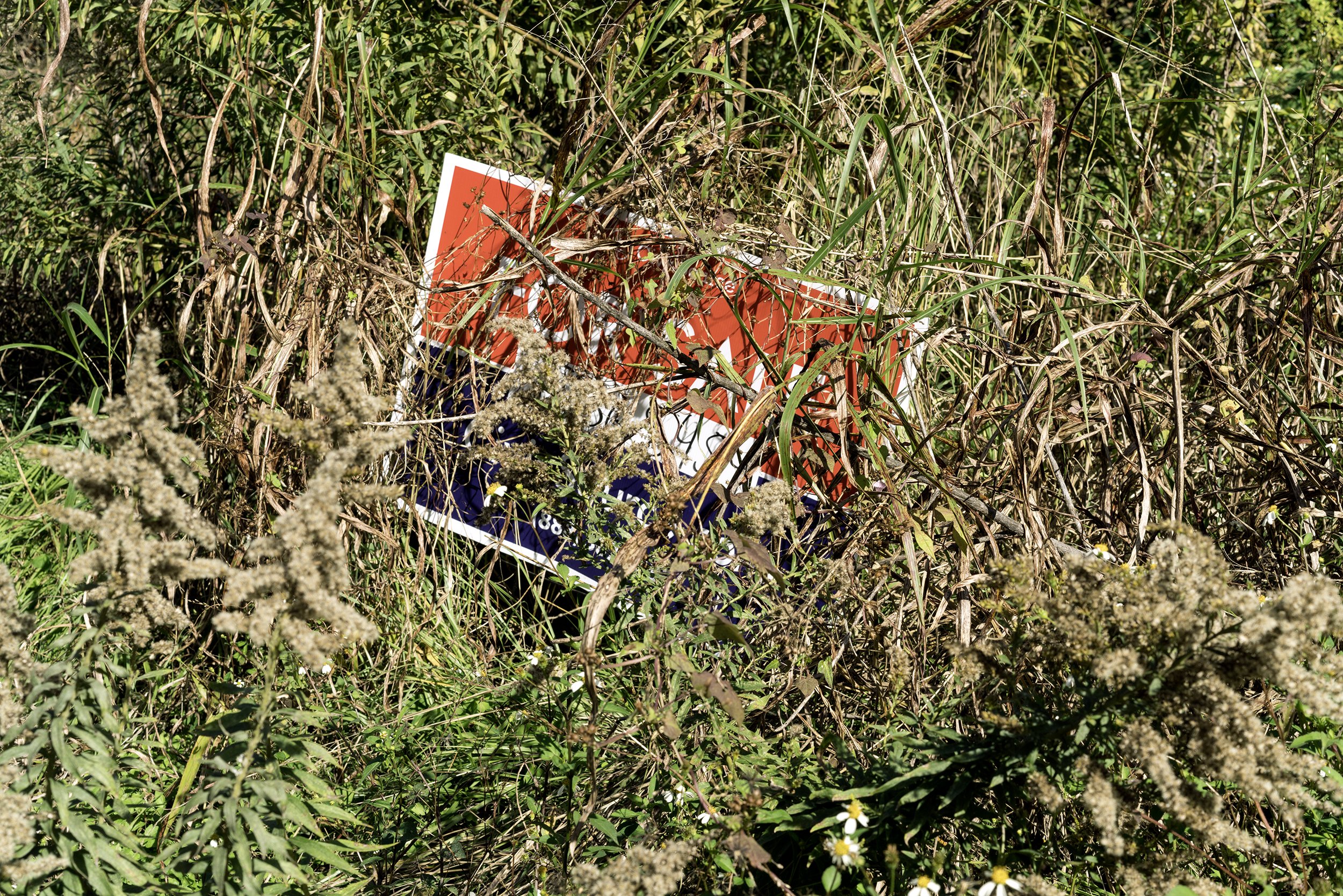
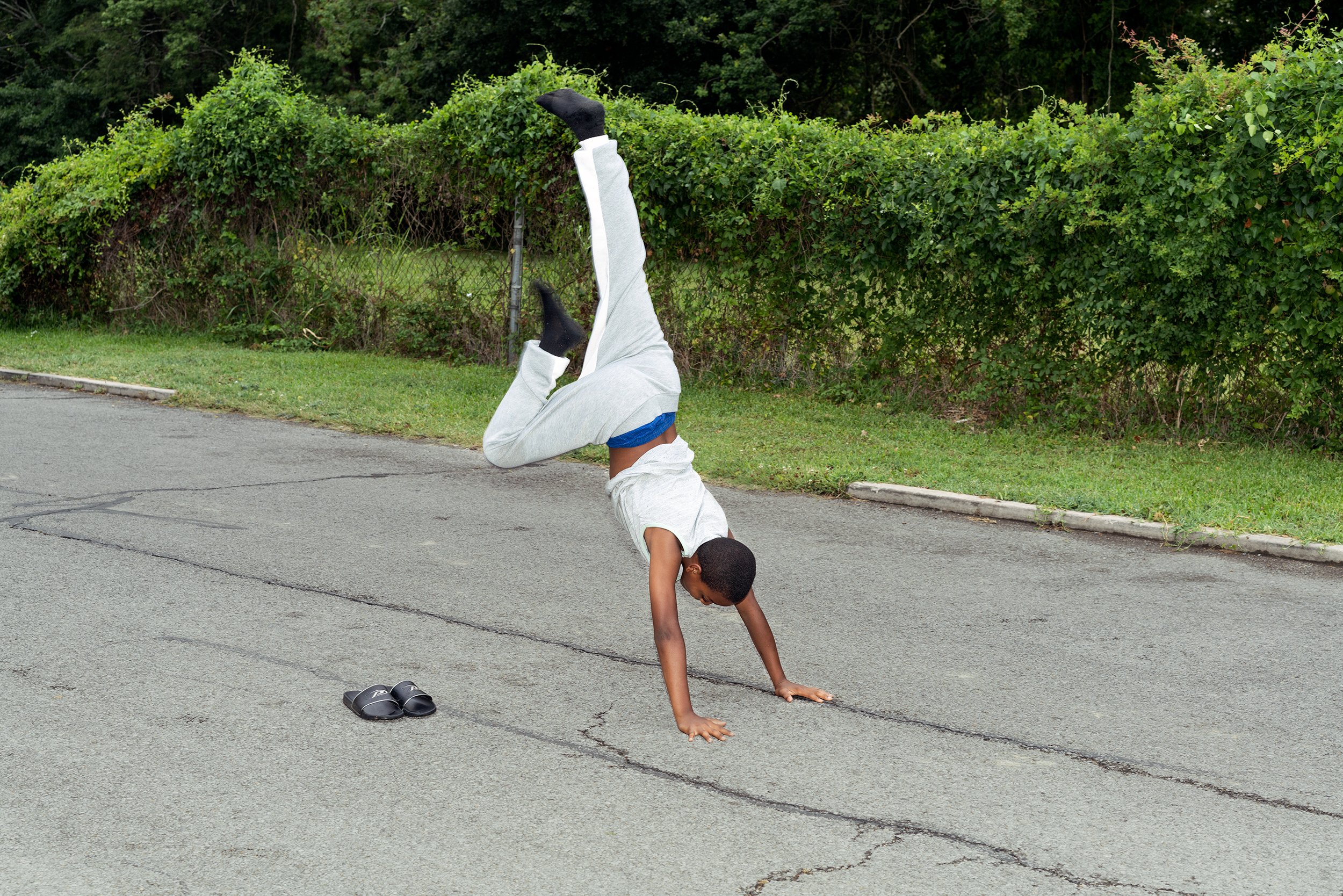
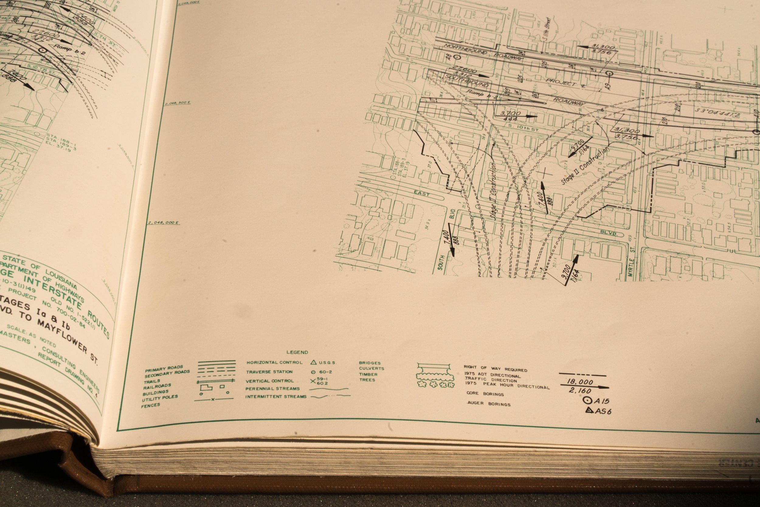
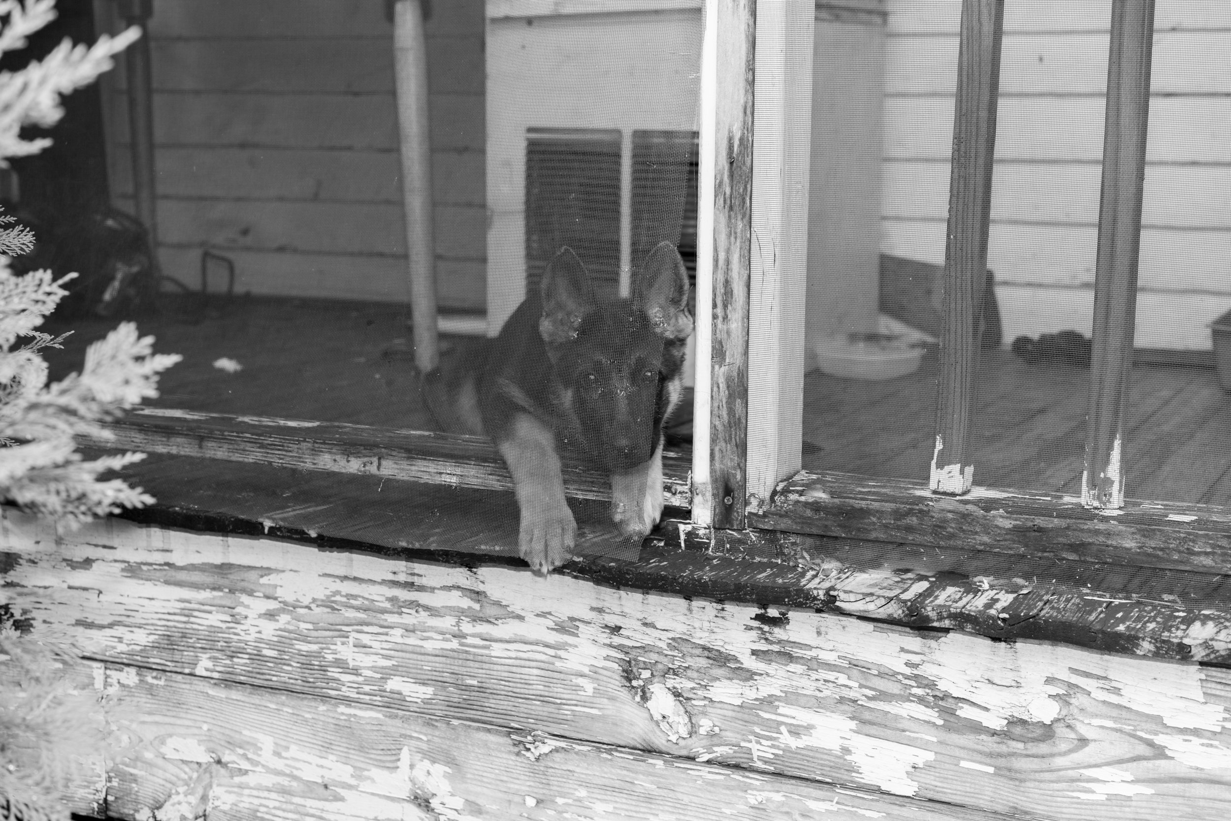
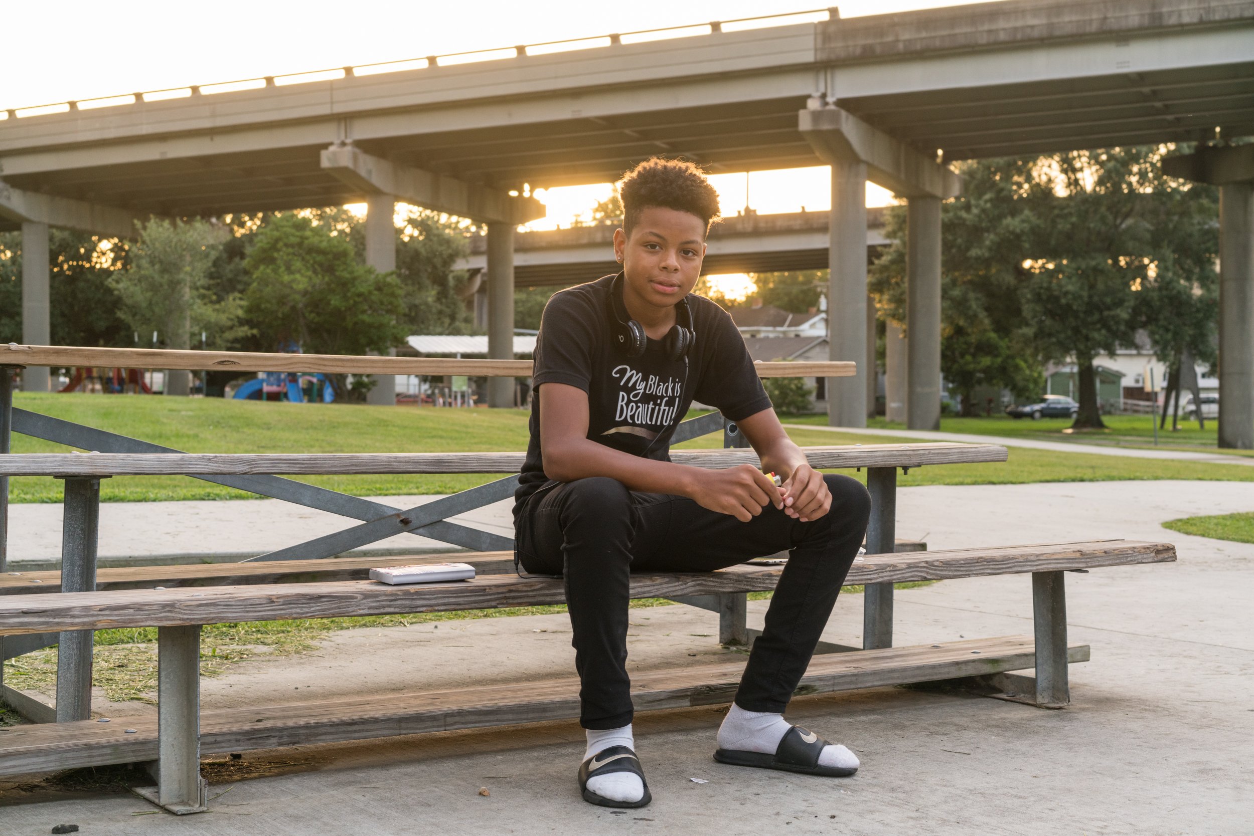
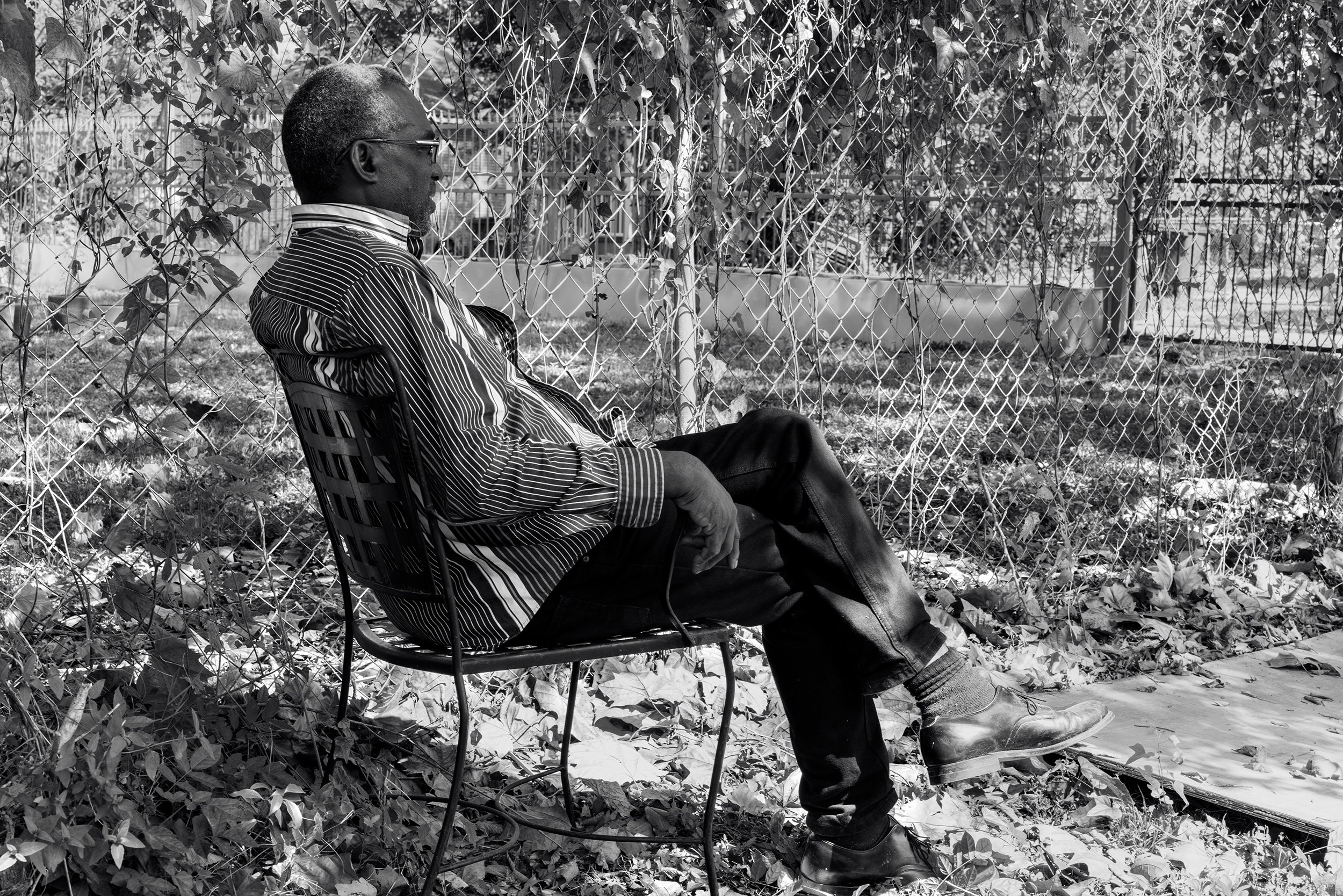
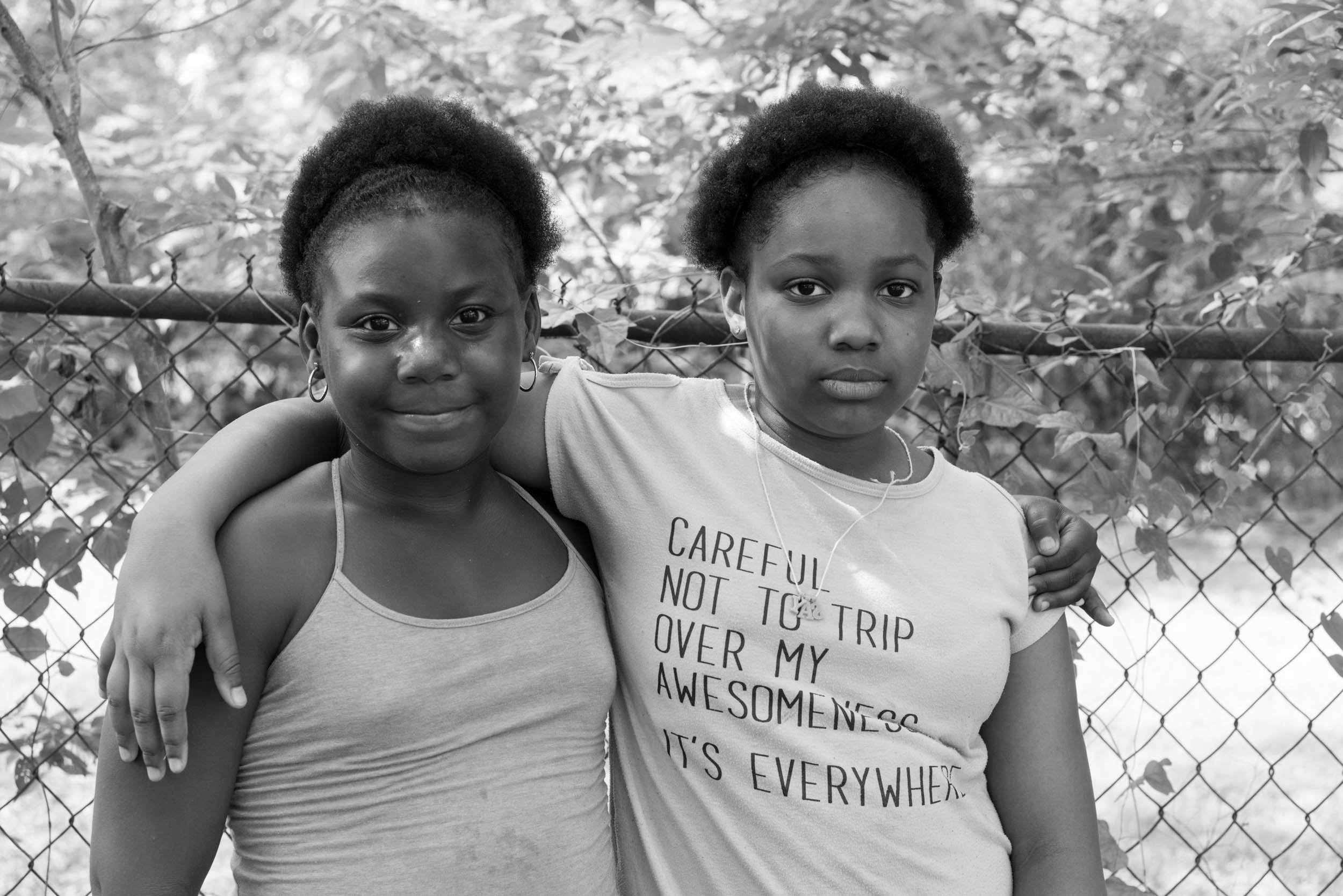
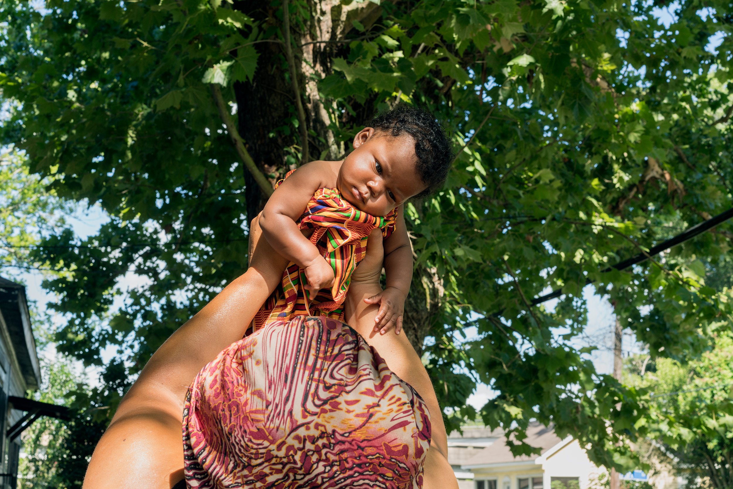
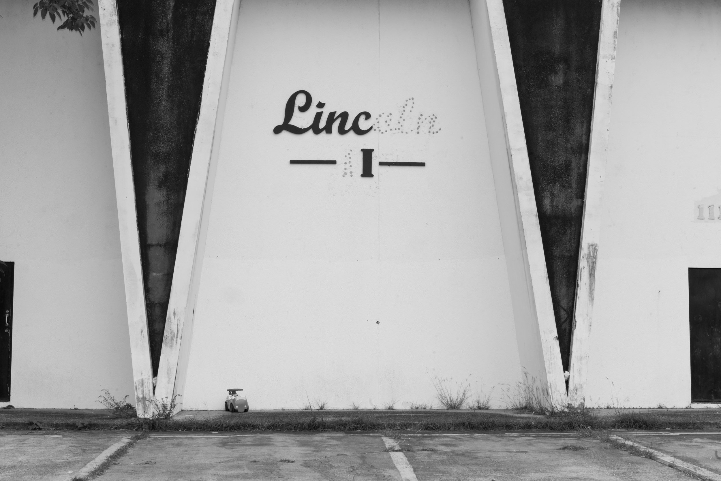
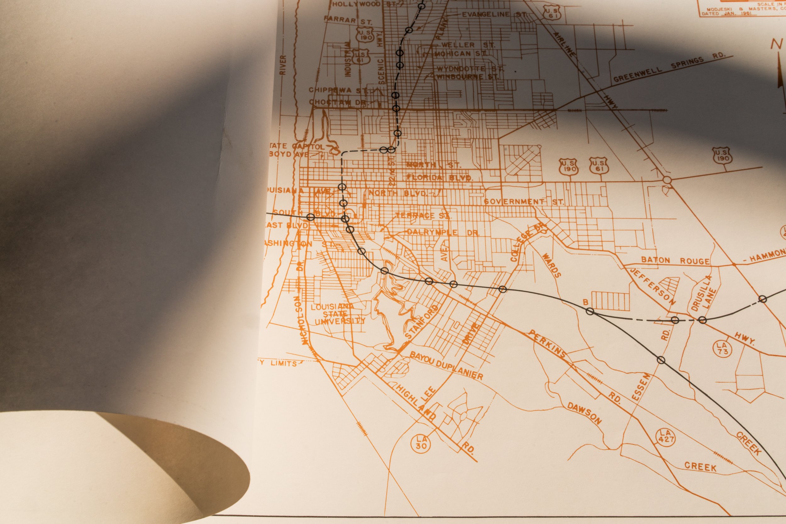
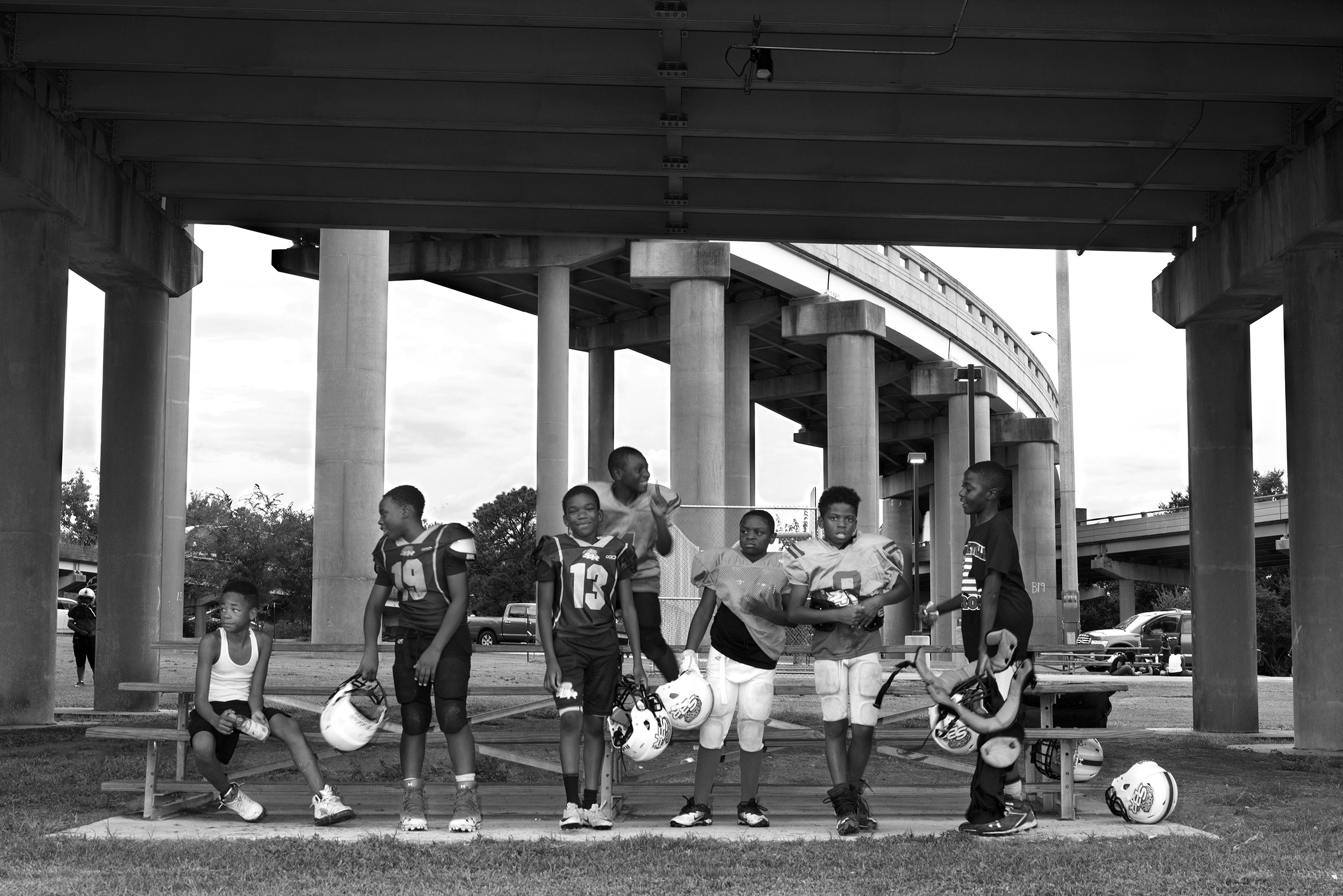
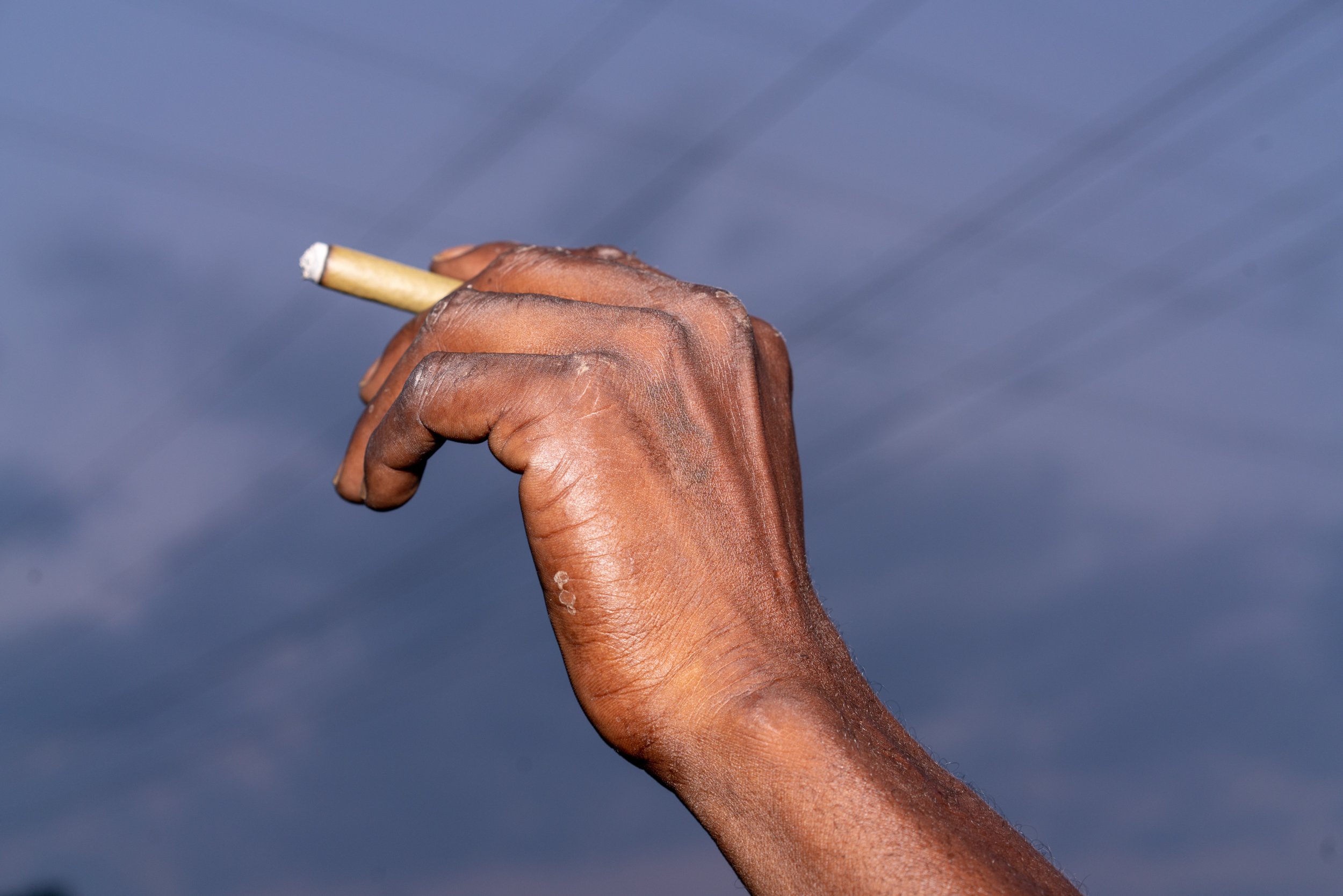
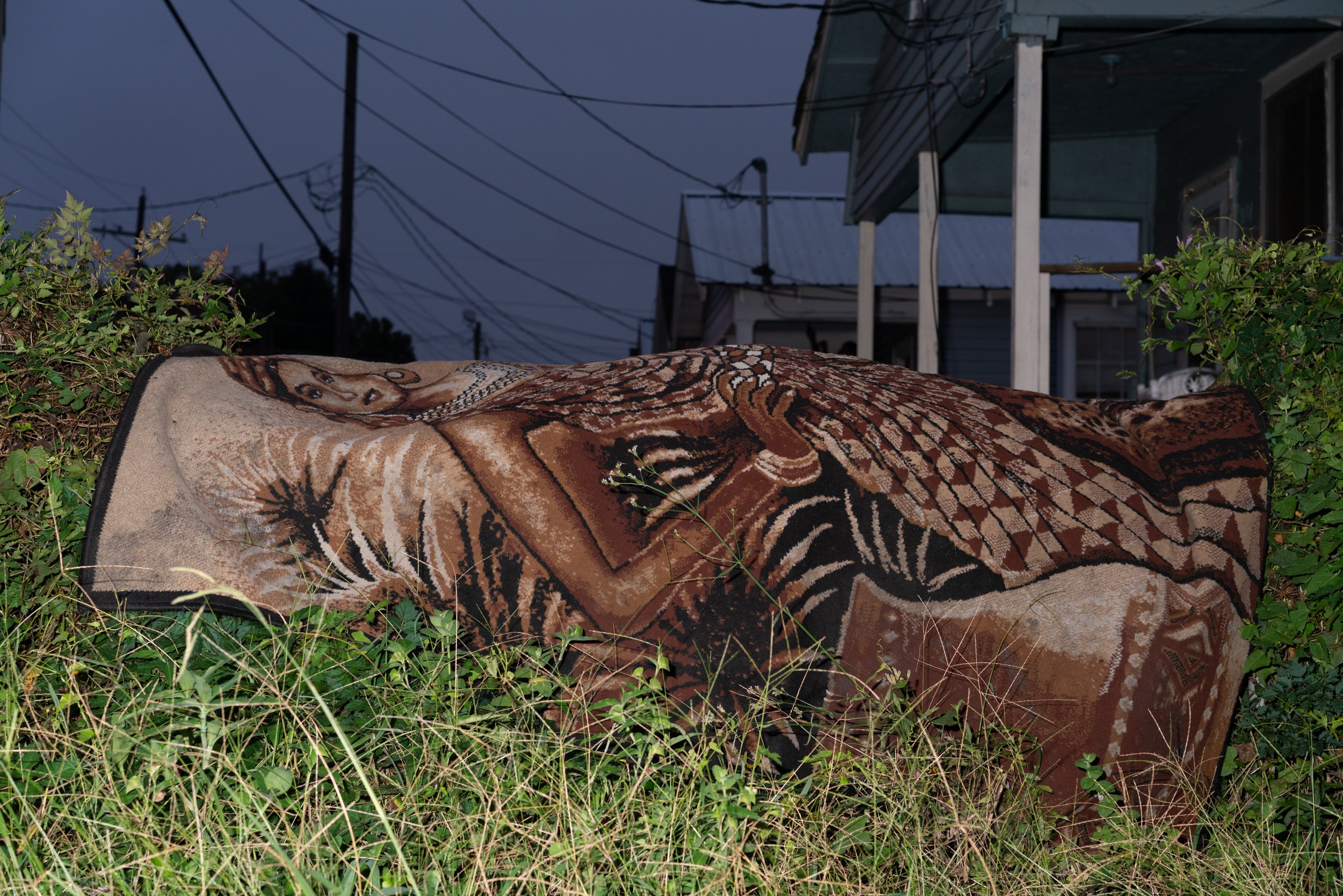
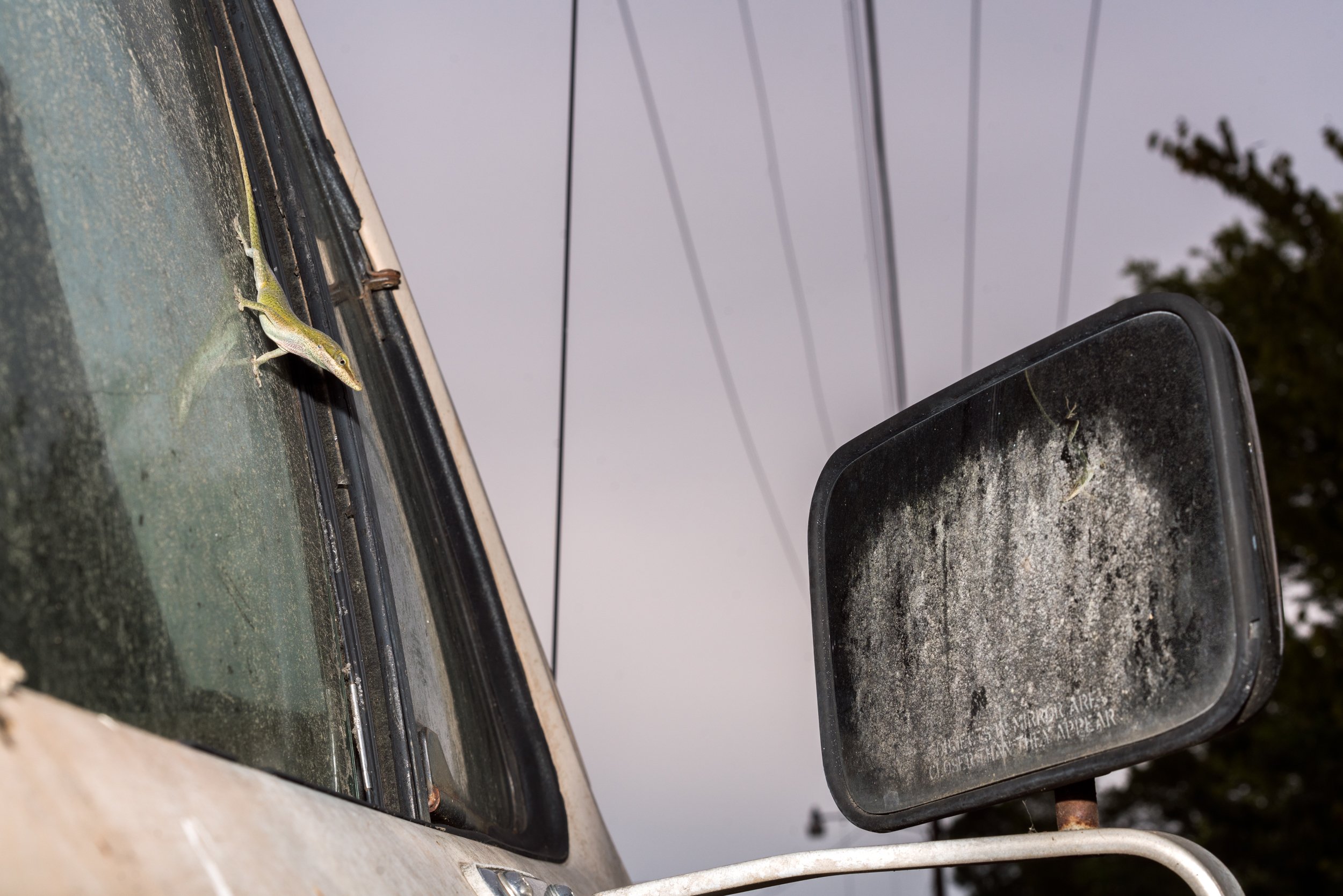
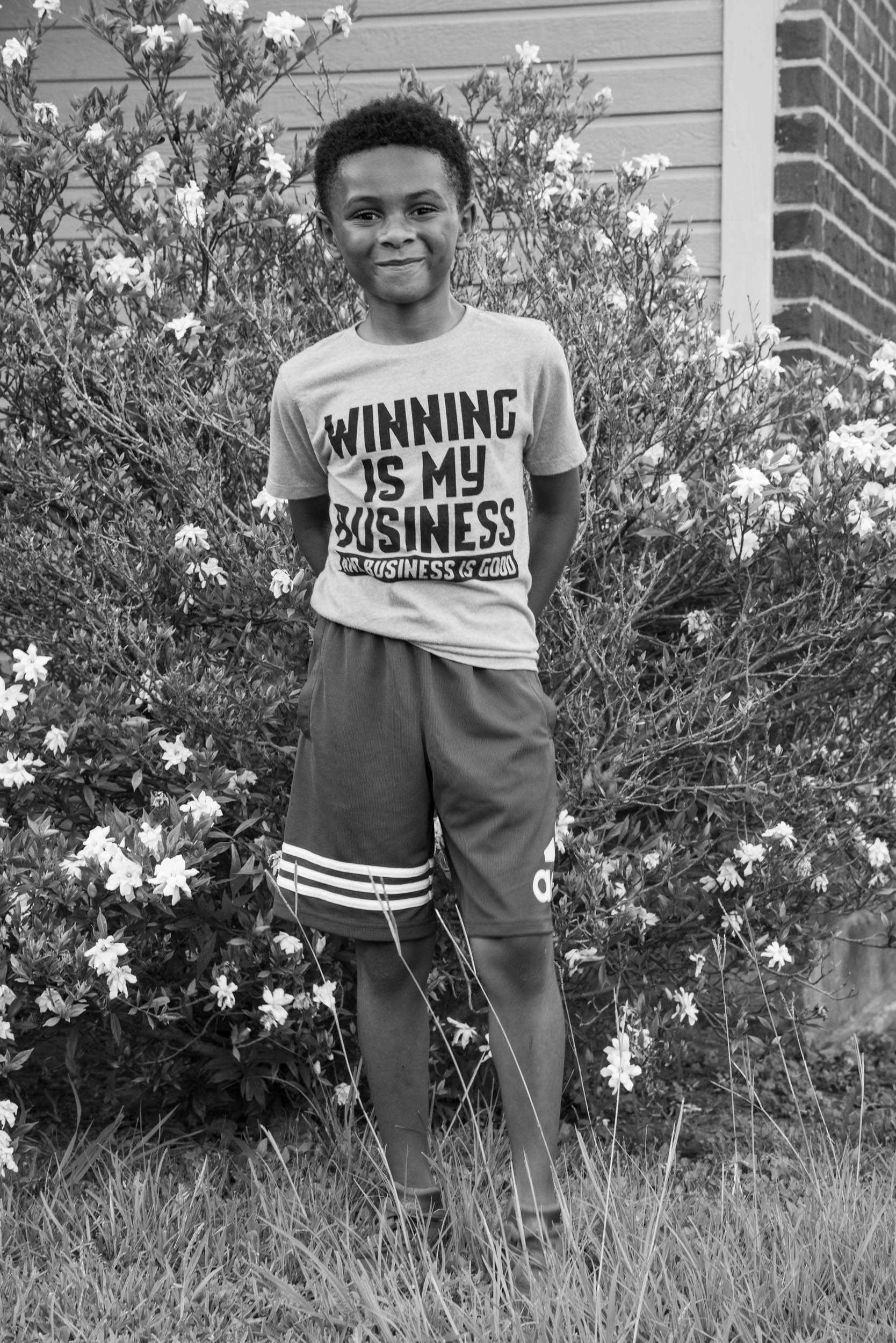
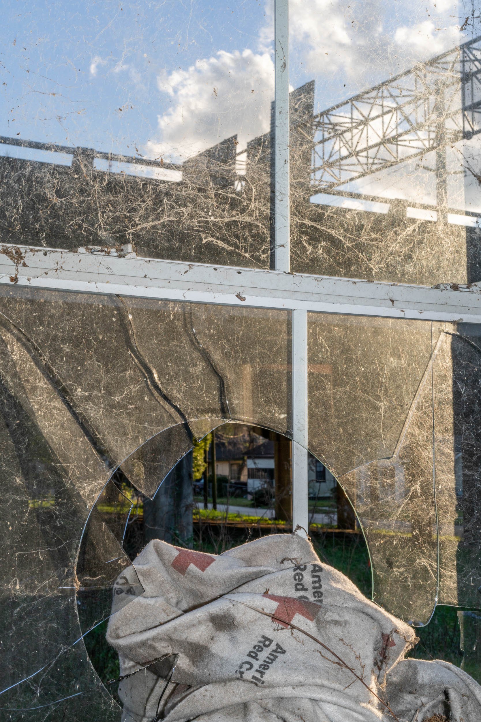
I photograph city plans and maps juxtaposed with torn down houses and my neighbors to create a portrait of this community. I recognize that histories are often told from the person with the most power and I understand my privilege in making these photographs. I work closely with my neighbors photographing repeatedly and collaboratively to carefully negotiate my responsibility in how I am representing them. I hope the deteriorating infrastructure and highway can speak to the history of segregation while I strive for the portraits to show the happiness, anger, love and sadness of the residents. I carefully consider the use of color and black and white to portray a blur between past and present, with the neighborhood youth caught in the in-between. I use flash to present the photographs as evidence. In exhibition, the highway images are hung high on the wall to represent its domination over the area. I want to photographs that show the complexities of both people and place, and my experience living here. There is little visual history that exists for this area despite its historic importance during the civil rights era. I photograph to make a record that can hopefully draw a connection between past decisions and current consequences.
The neighborhood is continually changing, some parts for the good, some for the worse. I will document these changes, and the current expansion of the highway to make a long-term record. I believe this project is important to tell this history that has been greatly looked over. I want the greater community to understand why this area is low-income, and that is it not the people that bring down a place, but a place that was designed by systemic racism. This story is not unique to Old South Baton Rouge, but occurred in low-income neighborhoods across the entire country.
2018- current
